


5,5 km | 8,3 km-effort
okres Prešov: Ontdek de beste tochten: 16 te voet. Al deze tochten, trajecten, routes en outdoor activiteiten zijn beschikbaar in onze SityTrail-apps voor smartphones en tablets.
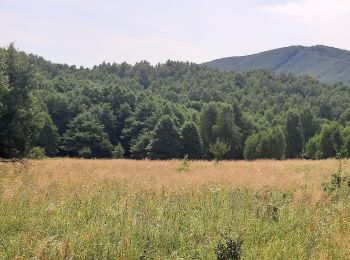
Te voet


• Tocht aangemaakt door Záhrada pohybu. symbol for all 4 routes is actually green backslash but routes have separate c...
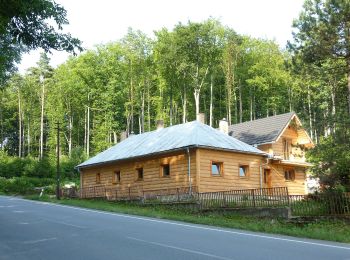
Te voet
• Tocht aangemaakt door Záhrada pohybu. symbol for all 4 routes is actually green backslash but routes have separate c...
Te voet
• Tocht aangemaakt door Záhrada pohybu. symbol for all 4 routes is actually green backslash but routes have separate c...
Te voet
• Tocht aangemaakt door Záhrada pohybu. symbol for all 4 routes is actually green backslash but routes have separate c...
Te voet
• Tocht aangemaakt door KST. Symbool: education
Te voet
• Tocht aangemaakt door Združenie rozvoja cestovného ruchu Čierna hora. Symbool: local

Te voet
• Tocht aangemaakt door Združenie rozvoja cestovného ruchu Čierna hora. Symbool: local
Te voet
• Tocht aangemaakt door Združenie rozvoja cestovného ruchu Čierna hora. Symbool: local
Te voet
• Tocht aangemaakt door Združenie rozvoja cestovného ruchu Čierna hora. Symbool: major
Te voet
• Tocht aangemaakt door Združenie rozvoja cestovného ruchu Čierna hora. Symbool: major
Te voet
• Tocht aangemaakt door Združenie rozvoja cestovného ruchu Čierna hora. Symbool: local
Te voet
• Tocht aangemaakt door Združenie rozvoja cestovného ruchu Čierna hora. Symbool: local
Te voet
• Symbool: education
Te voet
• Tocht aangemaakt door Zlatá Baňa. Symbool: education
Te voet
• Symbool: education

Te voet
• Tocht aangemaakt door Lesy SR. Symbool: education
16 tochten weergegeven op 16
Gratisgps-wandelapplicatie
 SityTrail
IGN / Geografische instituten
SityTrail World
De wereld gaat voor u open