


3 km | 3,6 km-effort
Onbekend: Ontdek de beste tochten: 10 te voet en 2 stappen. Al deze tochten, trajecten, routes en outdoor activiteiten zijn beschikbaar in onze SityTrail-apps voor smartphones en tablets.

Te voet


• Trail created by Stockholms stad.
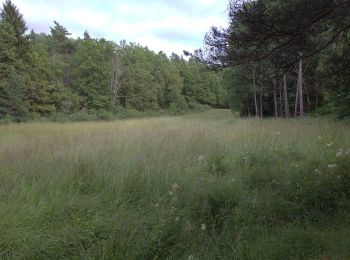
Te voet
• Symbol: Gula metallskyltar

Te voet
• Trail created by Stockholms stad.

Te voet
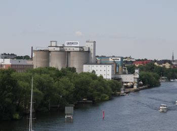
Te voet

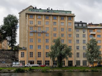
Te voet

Te voet
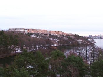
Te voet

Te voet
Te voet

Stappen
Stappen
12 tochten weergegeven op 12
Gratisgps-wandelapplicatie
 SityTrail
IGN / Geografische instituten
SityTrail World
De wereld gaat voor u open