


22 km | 30 km-effort
Mureș: Ontdek de beste tochten: 37 te voet en 1 stappen. Al deze tochten, trajecten, routes en outdoor activiteiten zijn beschikbaar in onze SityTrail-apps voor smartphones en tablets.
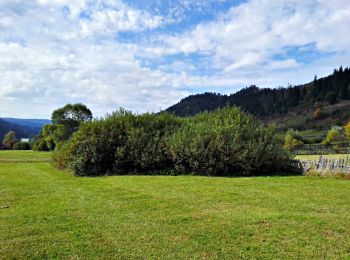
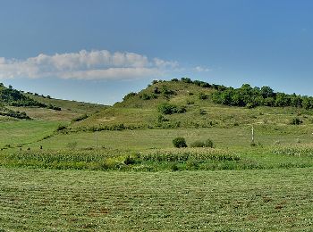
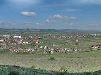
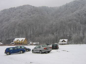
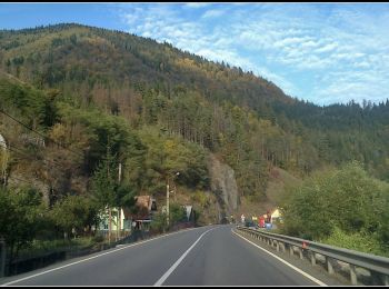
Te voet


• Symbol: Yellow cross on white background

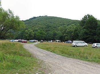
Te voet
• Symbol: triunghi albastru
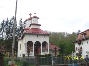
Te voet
• Symbol: punct albastru
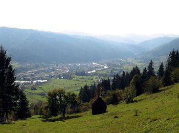
Te voet
• Symbol: punct albastru
Te voet
• Symbol: Blue cross
Te voet
• Symbol: Yellow dot with white border
Te voet
• Symbol: cruce roșie
Te voet
• Symbol: cruce albastră
Te voet
• Symbol: bandă roșie
Te voet
• Symbol: bandă roșie
Te voet
• Symbol: punct roșu
Te voet
• Symbol: bandă albastră
Te voet
• Symbol: cruce roșie
Te voet
• Symbol: bandă albastră
Te voet
• Symbol: bandă roșie
Te voet
• Symbol: cruce albastră
Te voet
Te voet
Te voet
Te voet
20 tochten weergegeven op 38
Gratisgps-wandelapplicatie
 SityTrail
IGN / Geografische instituten
SityTrail World
De wereld gaat voor u open