


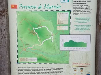
11,6 km | 15 km-effort
Portalegre: Ontdek de beste tochten: 6 te voet en 2 stappen. Al deze tochten, trajecten, routes en outdoor activiteiten zijn beschikbaar in onze SityTrail-apps voor smartphones en tablets.
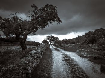
Te voet


• Trail created by Parque Natural da Serra de S. Mamede.
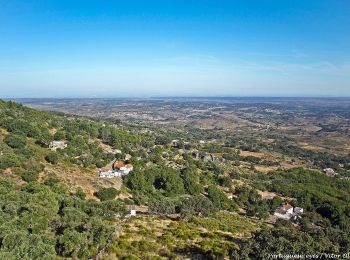
Te voet
• Trail created by Parque Natural da Serra de São Mamede.
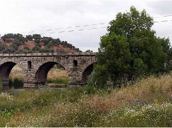
Te voet
• Trail created by Município de Alter do Chão. Symbol: Yellow over Red Website: http://inmotion.cimaa.pt/pt/percurso...
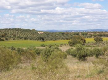
Te voet

Te voet
• Trail created by Parque Natural da Serra de S. Mamede.
Te voet
• Trail created by Município de Alter do Chão. Symbol: Yellow over Red
Stappen

Stappen
8 tochten weergegeven op 8
Gratisgps-wandelapplicatie
 SityTrail
IGN / Geografische instituten
SityTrail World
De wereld gaat voor u open