
Onbekend, Azoren, Te voet: Top van de beste wandelroutes, trajecten, tochten en wandelingen
Onbekend: Ontdek de beste tochten: 58 te voet, 112 stappen en 1 trail. Al deze tochten, trajecten, routes en outdoor activiteiten zijn beschikbaar in onze SityTrail-apps voor smartphones en tablets.
De beste trajecten (171)
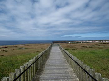
Km
Te voet


• Discover the hiking route Great Route of Santa Maria. View the map and download the GPS track. Website: http://trail...
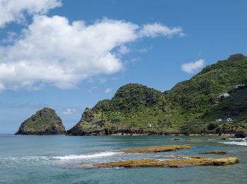
Km
Te voet


• This linear route connects Praia Formosa (south coast) to Baía of São Lourenço (northeast coast), making the connecti...
Km
Te voet


• Leads to Velas
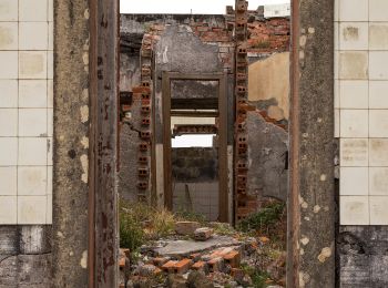
Km
Te voet


• This circular route in the village of Ribeirinha evolves partially in the protected area for habitats and species man...
Km
Te voet


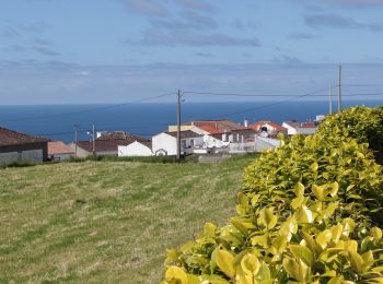
• Discover the hiking route PRC38SMI Lomba D'EL Rei. View the map and download the GPS track. Website: http://trails.v...

Km
Te voet


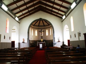
• Discover the hiking route PR21SMI Padrão das Alminhas - Salto da Farinha. View the map and download the GPS track. W...
Km
Te voet


• Symbol: Yellow over Red
Km
Te voet


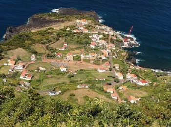
• Descubra o percurso pedestre PRC11PIC Calheta do Nesquim. Consulte o Mapa e faça download do GPS. Website: http://tr...

Km
Te voet


• Symbol: Yellow over Red
Km
Te voet


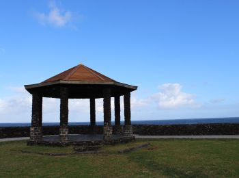
• Discover the hiking route PRC36SMI Pedra Queimada - Lajinha - Degredo. View the map and download the GPS track. Webs...

Km
Te voet


• Discover the hiking route PR12SMI Trilho do Agrião. View the map and download the GPS track. Website: http://trails....
Km
Te voet


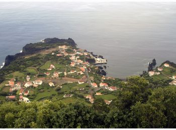
• Discover the hiking route PRC6SJO Trilho do Norte Pequeno. View the map and download the GPS track. Website: http://...
Km
Te voet


• Discover the hiking route PR4SJO Pico do Pedro – Pico da Esperança – Fajã do Ouvidor. View the map and download the G...
Km
Te voet


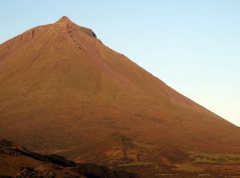
• Discover the hiking route PR15PIC Mistérios do Sul do Pico. View the map and download the GPS track. Website: http:/...
Km
Te voet


• Discover the hiking route PR13PIC Lagoa do Capitão. View the map and download the GPS track. Website: http://trails....
Km
Te voet


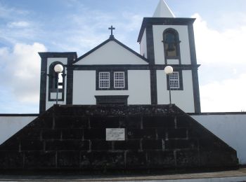
• Discover the hiking route PR1PIC Caminhos de Santa Luzia. View the map and download the GPS track. Website: http://t...
Km
Te voet


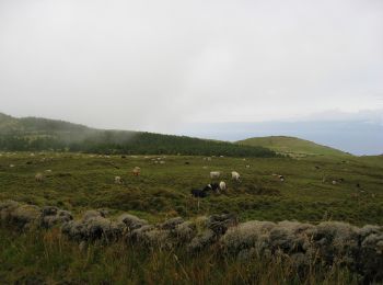
• Discover the hiking route PR2PIC Caminho dos Burros: vertente Norte. View the map and download the GPS track. Websit...
Km
Te voet


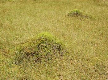
• Discover the hiking route PR7PIC Caminho das Voltas. View the map and download the GPS track. Website: http://trails...
Km
Te voet


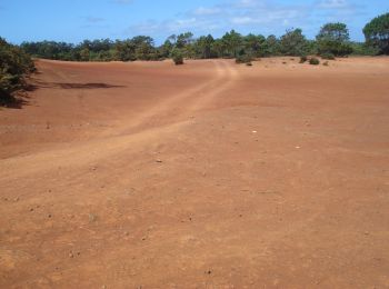
• Symbol: Yellow over Red
Km
Te voet


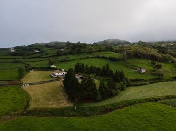
• Discover the hiking route PR4SMA Santo Espírito. View the map and download the GPS track. Website: http://trails.vis...
20 tochten weergegeven op 171
Gratisgps-wandelapplicatie
Activiteiten
Nabije regio's
- Achada
- Achadinha
- Água Retorta
- Água de Alto
- Água de Pau
- Agualva
- Algarvia
- Angra (N. Senhora da Conceição
- Angra (Sé)
- Bandeiras
- Biscoitos
- Calheta de Nesquim
- Calhetas
- Candelária
- Capelas
- Capelo
- Castelo Branco
- Cedros
- Criação Velha
- Faial da Terra
- Fajã Grande
- Fajãzinha
- Fazenda
- Fenais da Ajuda
- Fenais da Luz
- Feteiras
- Flamengos
- Fontinhas
- Furnas
- Ginetes
- Guadalupe
- Horta (Angústias)
- Horta (Conceição)
- Lagoa (Santa Cruz)
- Lajedo
- Lajes
- Lajes das Flores
- Lajes do Pico
- Lomba
- Lomba da Fazenda
- Lomba da Maia
- Lomba de São Pedro
- Madalena
- Maia
- Mosteiro
- Mosteiros
- Nordeste
- Norte Grande (Neves)
- Norte Pequeno
- Pedro Miguel
- Piedade
- Pilar da Bretanha
- Ponta Delgada
- Ponta Delgada (São José)
- Ponta Delgada (São Pedro)
- Ponta Delgada (São Sebastião)
- Ponta Garça
- Porto Formoso
- Porto Judeu
- Posto Santo
- Povoação
- Praia (São Mateus)
- Praia da Vitória (Santa Cruz)
- Praia do Norte
- Prainha
- Quatro Ribeiras
- Raminho
- Relva
- Ribeira Chã
- Ribeira Grande (Conceição)
- Ribeira Grande (Matriz)
- Ribeira Quente
- Ribeira Seca
- Ribeiras
- Ribeirinha
- Rosais
- Rosto do Cão (São Roque)
- Salga
- Santa Bárbara
- Santa Cruz da Graciosa
- Santa Cruz das Flores
- Santa Luzia
- Santo Amaro
- Santo António
- Santo António de Nordestinho
- Santo Espírito
- São Bartolomeu de Regatos
- São Brás
- São Caetano
- São João
- São Mateus
- São Pedro
- São Pedro de Nordestinho
- São Roque do Pico
- São Vicente Ferreira
- Serreta
- Sete Cidades
- Topo (Nossa Senhora do Rosário)
- Urzelina (São Mateus)
- Velas (São Jorge)
- Vila Franca do Campo (São Miguel)
- Vila de São Sebastião
- Vila do Porto


 SityTrail


