


5,5 km | 6,1 km-effort
Porirua City: Ontdek de beste tochten: 8 te voet. Al deze tochten, trajecten, routes en outdoor activiteiten zijn beschikbaar in onze SityTrail-apps voor smartphones en tablets.
Te voet


• Tocht aangemaakt door Porirua City Council.
Te voet
• Tocht aangemaakt door Porirua City Council. Website: https://poriruacity.govt.nz/discover-porirua/walking-biking/w...
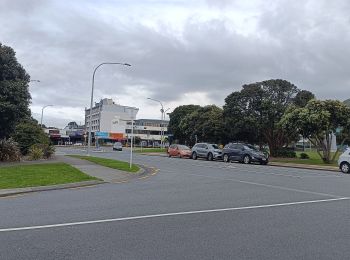
Te voet
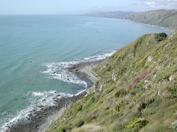
Te voet
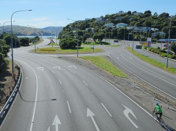
Te voet
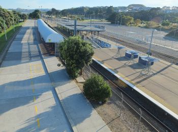
Te voet

Te voet
• Tocht aangemaakt door Porirua City Council.
Te voet
8 tochten weergegeven op 8
Gratisgps-wandelapplicatie
 SityTrail
IGN / Geografische instituten
SityTrail World
De wereld gaat voor u open