


6,6 km | 7,1 km-effort
Noord-Brabant: Ontdek de beste tochten: 75 te voet, 226 stappen, 2 noords wandelen en 1 lopen. Al deze tochten, trajecten, routes en outdoor activiteiten zijn beschikbaar in onze SityTrail-apps voor smartphones en tablets.
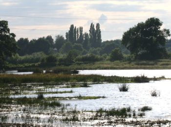
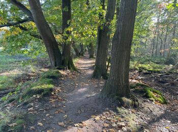
Te voet


• Trail created by Staatsbosbeheer.

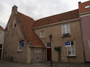
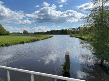
Te voet
• Trail created by Staatsbosbeheer.

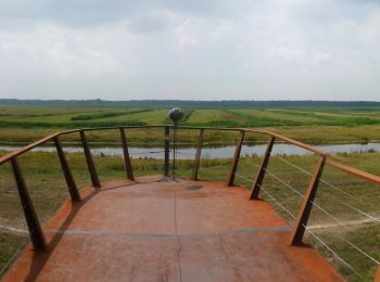
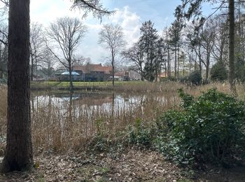
Te voet
• Trail created by Staatsbosbeheer.
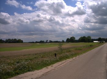
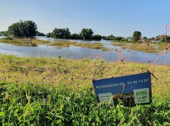
Te voet
• Een heerlijke rondwandeling door bossen, landgoederen en langs oude forten. Website: https://www.ns.nl/dagje-uit/wan...
Te voet
• Trail created by Natuurmonumenten.

Te voet
• Trail created by Gemeente Gilze en Rijen.
Te voet
• Trail created by Gemeente Someren.
Te voet
• Trail created by Gemeente Someren.

Te voet
• Trail created by Gemeente Gilze en Rijen.

Te voet
• Ommetje Lusdonck

Te voet
• Website: https://www.wandelzoekpagina.nl/groene_wissels/lijst.php
Te voet
• Trail created by NS / LAW. Maasheggen
Te voet
• Trail created by NS / LAW. Mookerheide
Te voet
• Trail created by LA / NSW. NS Wandeling Strabrechtse Heide
Te voet
• Trail created by Hamont-Achel.

Stappen
• More information on GPStracks.nl : http://www.gpstracks.nl
Stappen
Stappen
Stappen
Te voet
20 tochten weergegeven op 304
Gratisgps-wandelapplicatie
 SityTrail
IGN / Geografische instituten
SityTrail World
De wereld gaat voor u open