


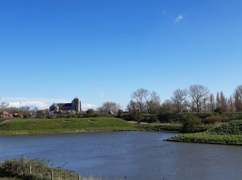
16 km | 17,5 km-effort
Zeeland: Ontdek de beste tochten: 9 te voet, 115 stappen en 22 noords wandelen. Al deze tochten, trajecten, routes en outdoor activiteiten zijn beschikbaar in onze SityTrail-apps voor smartphones en tablets.
Stappen


Stappen
Stappen
Stappen
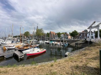
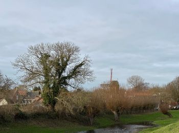
Te voet
• Trail created by Stichting Landschapsbeheer Zeeland, VVV Zeeland. Hoge Pad
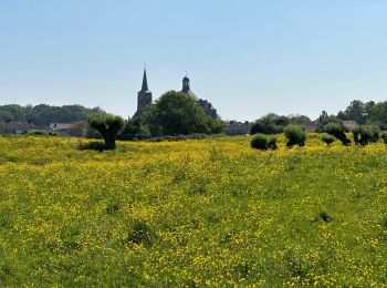
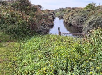
Te voet
• Trail created by Stichting Landschapsbeheer Zeeland, VVV Zeeland. Hollestellepad
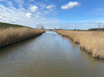
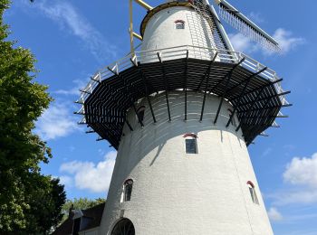
Te voet
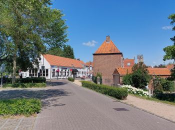
• Trail created by Stichting Landschapsbeheer Zeeland, VVV Zeeland,. Ommetje Kloetinge
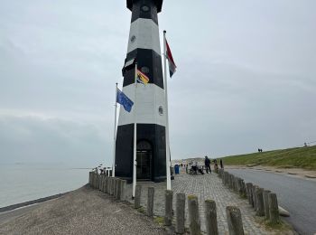
Te voet
• Trail created by Toerisme Oost-Vlaanderen.

Stappen

Stappen
• More information on GPStracks.nl : http://www.gpstracks.nl
Stappen
Stappen
Stappen
Stappen
Stappen
Stappen
Stappen
Stappen
Stappen
Stappen
20 tochten weergegeven op 146
Gratisgps-wandelapplicatie
 SityTrail
IGN / Geografische instituten
SityTrail World
De wereld gaat voor u open