


9,3 km | 10 km-effort
Brummen: Ontdek de beste tochten: 6 te voet en 1 stappen. Al deze tochten, trajecten, routes en outdoor activiteiten zijn beschikbaar in onze SityTrail-apps voor smartphones en tablets.
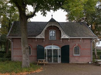
Te voet


• Trail created by Klompenpaden.nl. Niet geschikt voor kinderwagens of rolstoelen. In geval van regen wordt waterdicht...
Te voet
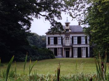
• Wandel vanaf de oude dijk naar het Laarzenpad, dwars door een natuurreservaat. Website: https://www.ns.nl/dagje-uit/...
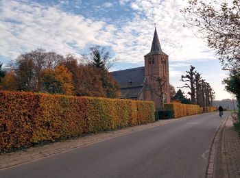
Te voet
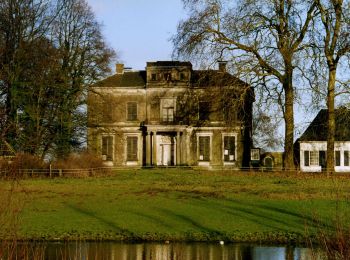
• Wandel vanaf de oude dijk naar het Laarzenpad, dwars door een natuurreservaat. Website: https://www.ns.nl/dagje-uit/...
Te voet
Te voet
Te voet

Stappen
• More information on GPStracks.nl : http://www.gpstracks.nl
7 tochten weergegeven op 7
Gratisgps-wandelapplicatie
 SityTrail
IGN / Geografische instituten
SityTrail World
De wereld gaat voor u open