


8,9 km | 11,6 km-effort
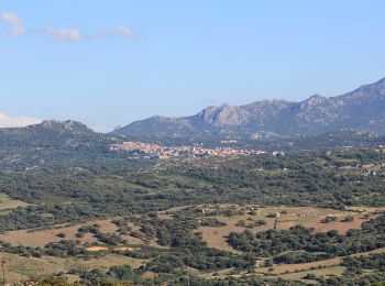
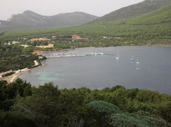
Sassari: Ontdek de beste tochten: 17 te voet, 22 stappen en 2 lopen. Al deze tochten, trajecten, routes en outdoor activiteiten zijn beschikbaar in onze SityTrail-apps voor smartphones en tablets.
Te voet


• Trail created by Comune di Sassari. Symbol: 003 on white red flag
Te voet
• Sentiero Italia CAI 2019
Te voet
• Sentiero Italia CAI 2019
Te voet
• Sentiero Italia CAI 2019
Te voet
• Sentiero Italia CAI 2019
Te voet
• Sentiero Italia CAI 2019

Te voet
• Sentiero Italia CAI 2019
Te voet
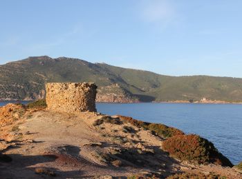
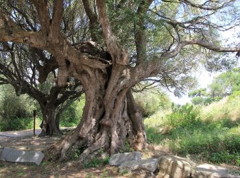
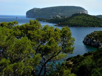
• Sito ufficiale del Parco Naturale di Porto Conte e Area Marina Protetta Capo Caccia - isola Piana. Natura e Territori...
Te voet
• Sito ufficiale del Parco Naturale di Porto Conte e Area Marina Protetta Capo Caccia - isola Piana. Natura e Territori...

Stappen
Te voet
Te voet
Te voet
Te voet
Te voet
Te voet
Te voet
Stappen

Stappen
Stappen
20 tochten weergegeven op 41
Gratisgps-wandelapplicatie
 SityTrail
IGN / Geografische instituten
SityTrail World
De wereld gaat voor u open