


7 km | 12,4 km-effort
Pigra: Ontdek de beste tochten: 2 te voet en 1 stappen. Al deze tochten, trajecten, routes en outdoor activiteiten zijn beschikbaar in onze SityTrail-apps voor smartphones en tablets.

Te voet


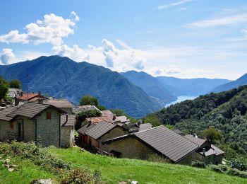
• Trail created by Associazione Amici di Pigra. Website: http://www.aapigra.it/aap/escursioni/sentieri/777-percorso-...
Te voet
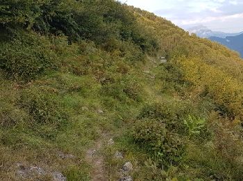
• Trail created by Associazione Amici di Pigra. Website: http://www.aapigra.it/aap/escursioni/sentieri/738-percorso-...
Stappen
3 tochten weergegeven op 3
Gratisgps-wandelapplicatie
 SityTrail
IGN / Geografische instituten
SityTrail World
De wereld gaat voor u open