


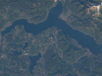
14,9 km | 23 km-effort
Varese: Ontdek de beste tochten: 7 te voet. Al deze tochten, trajecten, routes en outdoor activiteiten zijn beschikbaar in onze SityTrail-apps voor smartphones en tablets.
Te voet


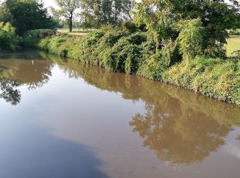
• Trail created by Provincia di Varese.
Te voet
• Trail created by Provincia di Varese.

Te voet
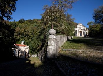
• Campo dei Fiori 360: Panorami, arte e natura a 360° nel Parco Regionale Campo dei Fiori. Website: http://www.parcoca...

Te voet
• Campo dei Fiori 360: Panorami, arte e natura a 360° nel Parco Regionale Campo dei Fiori. Website: http://www.parcoca...
Te voet
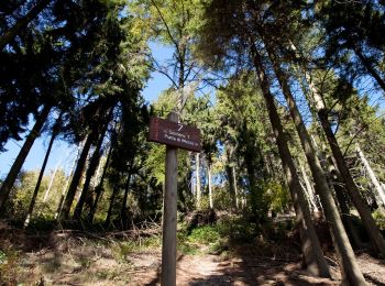
• Trail created by Parco Regionale Campo dei Fiori.

Te voet
• Trail created by Parco regionale Campo dei Fiori.
Te voet
7 tochten weergegeven op 7
Gratisgps-wandelapplicatie
 SityTrail
IGN / Geografische instituten
SityTrail World
De wereld gaat voor u open