![](/images/other/stat-length.png)
- Tochten
- Te voet
- Italy
- Lombardije
- Bergamo
- Roncola
Roncola, Bergamo, Te voet: Top van de beste wandelroutes, trajecten, tochten en wandelingen
Roncola: Ontdek de beste tochten: 3 te voet. Al deze tochten, trajecten, routes en outdoor activiteiten zijn beschikbaar in onze SityTrail-apps voor smartphones en tablets.
De beste trajecten (3)
![Tocht Te voet Roncola - Sentiero dell'Acqua - Photo](https://media.geolcdn.com/t/350/260/ext.jpg?maxdim=2&url=https%3A%2F%2Fmedia.geolcdn.com%2Ff%2Fe17b9110-3add-479c-8950-f93c4b339c2d.jpeg)
![Te voet Te voet](https://static1.geolcdn.com/sitytour/trail-icons/100.png)
Km
Te voet
![](/images/other/stat-length.png)
![](https://static1.geolcdn.com/siteimages/upload/files/1508320355ic_sort_den_pos_24dp.png)
![](https://static1.geolcdn.com/siteimages/upload/files/1508320355ic_sort_den_neg_24dp.png)
![](https://static1.geolcdn.com/siteimages/upload/files/16400158638029165_repeat_loop_refresh_sync_direction_icon.png)
• Verificato estate 2020. Website: https://forum.valbrembanaweb.com/trekking-escursioni-valle-brembana-orobie-f87/ve...
![Tocht Te voet Roncola - Sentiero dei Borghi - Photo](https://media.geolcdn.com/t/350/260/ext.jpg?maxdim=2&url=https%3A%2F%2Fmedia.geolcdn.com%2Ff%2Fbb9c965c-e3db-454f-828a-121ccb7e9adc.jpeg)
![Te voet Te voet](https://static1.geolcdn.com/sitytour/trail-icons/100.png)
Km
Te voet
![](/images/other/stat-length.png)
![](https://static1.geolcdn.com/siteimages/upload/files/1508320355ic_sort_den_pos_24dp.png)
![](https://static1.geolcdn.com/siteimages/upload/files/1508320355ic_sort_den_neg_24dp.png)
![](https://static1.geolcdn.com/siteimages/upload/files/16400158638029165_repeat_loop_refresh_sync_direction_icon.png)
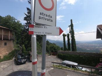
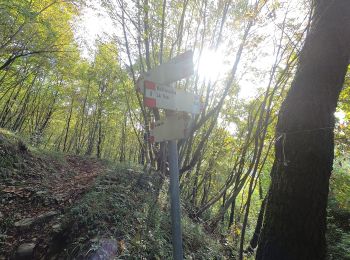
• Segue il percorso della cartellonistica verticale. La mappa nella board informativa a San Defendente ha varianti aggi...
![Tocht Te voet Roncola - Sentiero 861: Barzana - Palazzago - Monte Albenza (Sentiero del crinale) - Photo](https://media.geolcdn.com/t/350/260/ext.jpg?maxdim=2&url=https%3A%2F%2Fmedia.geolcdn.com%2Ff%2Fa600ffe3-522e-43dd-b38a-286ba735c067.jpeg)
![Te voet Te voet](https://static1.geolcdn.com/sitytour/trail-icons/100.png)
Km
Te voet
![](/images/other/stat-length.png)
![](https://static1.geolcdn.com/siteimages/upload/files/1508320355ic_sort_den_pos_24dp.png)
![](https://static1.geolcdn.com/siteimages/upload/files/1508320355ic_sort_den_neg_24dp.png)
![](https://static1.geolcdn.com/siteimages/upload/files/16400158638029165_repeat_loop_refresh_sync_direction_icon.png)
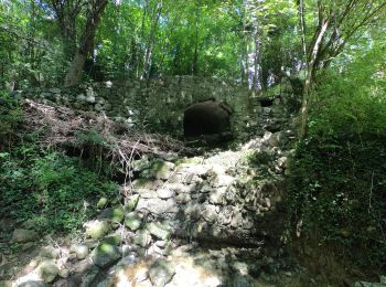
• L'itinerario collega il Parco Oasi sito nel comune di Barzana con la vetta del Monte Linzone passando per alcune fraz...
3 tochten weergegeven op 3
Gratisgps-wandelapplicatie