Rezzato, Brescia, Te voet: Top van de beste wandelroutes, trajecten, tochten en wandelingen

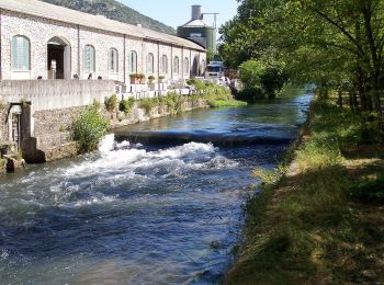
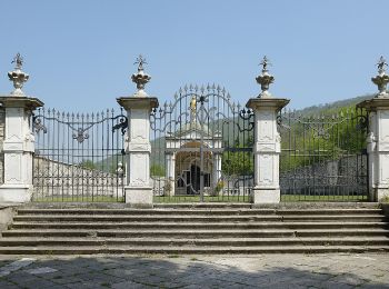
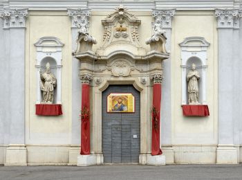
Rezzato: Ontdek de beste tochten: 6 te voet. Al deze tochten, trajecten, routes en outdoor activiteiten zijn beschikbaar in onze SityTrail-apps voor smartphones en tablets.


De beste trajecten (6)

Tocht Te voet Rezzato - Sentiero del Carso Bresciano - Photo
Te voet 49.123
Km
GUIDE+

Te voet

Zeer moeilijk
Rezzato, Lombardije, Brescia, Italy
49 km | 84 km-effort
19h 1min
2589 m
2615 m
Neen
SityTrail - itinéraires balisés pédestres

• Symbol: 530 on white red flag

Tocht Te voet Rezzato - Sentiero della Valle di Virle - Photo
Te voet 5.376
Km
GUIDE+

Te voet

Gemakkelijk
Rezzato, Lombardije, Brescia, Italy
5,4 km | 10 km-effort
2h 15min
366 m
277 m
Neen
SityTrail - itinéraires balisés pédestres

• Trail created by Gruppo Ecologico di Virle. Symbol: 932 on white red flag

Tocht Te voet Rezzato - Sentiero dei fiori - Photo
Te voet 5.873
Km
GUIDE+

Te voet

Gemakkelijk
Rezzato, Lombardije, Brescia, Italy
5,9 km | 10,2 km-effort
2h 18min
330 m
298 m
Ja
SityTrail - itinéraires balisés pédestres

• Trail created by Gruppo Anti Incendio Boschivo Monte Regogna. Symbol: 934 on white red flag

Tocht Te voet Rezzato - Sentiero della storia - Photo
Te voet 6.966
Km
GUIDE+

Te voet

Gemakkelijk
Rezzato, Lombardije, Brescia, Italy
7 km | 11,2 km-effort
2h 33min
321 m
315 m
Ja
SityTrail - itinéraires balisés pédestres

• Trail created by Gruppo Alpini di Rezzato. Symbol: 933 on white red flag

Tocht Te voet Rezzato - Sentiero della Rasa - Photo
Te voet 6.393
Km
GUIDE+

Te voet

Gemakkelijk
Rezzato, Lombardije, Brescia, Italy
6,4 km | 9 km-effort
2h 3min
200 m
195 m
Ja
SityTrail - itinéraires balisés pédestres

• Trail created by Movimento Adulti Scout Cattolici Italiani di Rezzato. Symbol: 931 on white red flag

Tocht Te voet Rezzato - Sentiero principale Valverde - Photo
Te voet 16.94
Km
GUIDE+

Te voet

Medium
Rezzato, Lombardije, Brescia, Italy
16,9 km | 26 km-effort
6h 0min
771 m
534 m
Neen
SityTrail - itinéraires balisés pédestres

• Trail created by Comune di Botticino. Symbol: yellow-red horizontal bars

6 tochten weergegeven op 6

Gratisgps-wandelapplicatie

Logo SityTrail SityTrail

IGN / Geografische instituten

SityTrail uit de App Store downloaden SityTrail uit Google Play downloaden

Logo SityTrail SityTrail World

De wereld gaat voor u open

SityTrail uit de App Store downloaden SityTrail uit Google Play downloaden SityTrail op Huawei AppGallery downloaden

Activiteiten

Sluiten
Mijn abonnementen