Brescia, Brescia, Te voet: Top van de beste wandelroutes, trajecten, tochten en wandelingen

Brescia: Ontdek de beste tochten: 12 te voet. Al deze tochten, trajecten, routes en outdoor activiteiten zijn beschikbaar in onze SityTrail-apps voor smartphones en tablets.


De beste trajecten (12)

Tocht Te voet Brescia - Monte Maddalena da Botticino Sera - Photo
Te voet 3.435
Km
GUIDE+

Te voet

Gemakkelijk
Brescia, Lombardije, Brescia, Italy
3,4 km | 5,7 km-effort
1h 18min
0 m
691 m
Neen
SityTrail - itinéraires balisés pédestres

• Trail created by Gruppo Escursionisti San Gallo. Symbol: 914 on white red flag
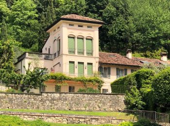
Tocht Te voet Brescia - Cascina Margherita per la Colletera e Sentiero Gasusì - Photo
Te voet 4.541
Km
GUIDE+

Te voet

Gemakkelijk
Brescia, Lombardije, Brescia, Italy
4,5 km | 6 km-effort
1h 21min
8 m
410 m
Neen
SityTrail - itinéraires balisés pédestres

• Trail created by Gruppo Monte Maddalena. Symbol: 907 on white red flag

Tocht Te voet Brescia - Sentiero delle pozze - Photo
Te voet 3.439
Km
GUIDE+

Te voet

Gemakkelijk
Brescia, Lombardije, Brescia, Italy
3,4 km | 5,7 km-effort
1h 17min
170 m
170 m
Ja
SityTrail - itinéraires balisés pédestres

• Trail created by Federazione Italiana della Caccia - Sezione Comunale di Brescia. Symbol: unmarked
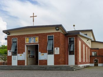
Tocht Te voet Brescia - Brescia (Cascina Santellone) - Campiani - Photo
Te voet 4.4
Km
GUIDE+

Te voet

Gemakkelijk
Brescia, Lombardije, Brescia, Italy
4,4 km | 6,4 km-effort
1h 27min
199 m
16 m
Neen
SityTrail - itinéraires balisés pédestres

• Trail created by Centro Operativo per la Difesa dell'Ambiente. Symbol: 919 on white red flag
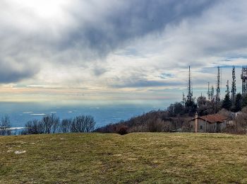
Tocht Te voet Brescia - Sentiero Brigata Fiamme Verdi Dieci Giornate - Photo
Te voet 5.869
Km
GUIDE+

Te voet

Gemakkelijk
Brescia, Lombardije, Brescia, Italy
5,9 km | 8,8 km-effort
1h 59min
217 m
224 m
Neen
SityTrail - itinéraires balisés pédestres

• Trail created by Gruppo Operativo Volontario Sentieri della Resistenza Bresciana. Symbol: 14 on green white red flag
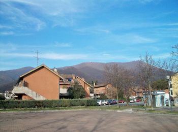
Tocht Te voet Brescia - Da Conicchio alla Valle di Mompiano - Photo
Te voet 5.506
Km
GUIDE+

Te voet

Gemakkelijk
Brescia, Lombardije, Brescia, Italy
5,5 km | 7,4 km-effort
1h 40min
111 m
234 m
Neen
SityTrail - itinéraires balisés pédestres

• Trail created by Gnari de Mompià. Symbol: unmarked

Tocht Te voet Brescia - Sentiero Agostino Brignoli - Photo
Te voet 4.708
Km
GUIDE+

Te voet

Gemakkelijk
Brescia, Lombardije, Brescia, Italy
4,7 km | 6,8 km-effort
1h 33min
7 m
620 m
Neen
SityTrail - itinéraires balisés pédestres

• Trail created by Gruppo Antincendio Nave. Symbol: 911 on white red flag

Tocht Te voet Brescia - Monte Maddalena per Via del Patrocinio e la Valle delle Fontanelle - Photo
Te voet 6.083
Km
GUIDE+

Te voet

Gemakkelijk
Brescia, Lombardije, Brescia, Italy
6,1 km | 8,7 km-effort
1h 58min
32 m
690 m
Neen
SityTrail - itinéraires balisés pédestres

• Trail created by C.B. Leonessa. Symbol: 905 on white red flag

Tocht Te voet Brescia - Chiesetta Monte Maddalena da San Fiorano per il Sentér Bandìt - Photo
Te voet 5.354
Km
GUIDE+

Te voet

Gemakkelijk
Brescia, Lombardije, Brescia, Italy
5,4 km | 12,3 km-effort
2h 47min
691 m
16 m
Neen
SityTrail - itinéraires balisés pédestres

• Trail created by Associazione Nazionale Uccellatori ed Uccellinai Migratoristi - Gruppo Ronchi Di Brescia. Symbol: 9...

Tocht Te voet Brescia - Monte Maddalena per il Triinale - Photo
Te voet 3.793
Km
GUIDE+

Te voet

Gemakkelijk
Brescia, Lombardije, Brescia, Italy
3,8 km | 6,3 km-effort
1h 26min
29 m
678 m
Neen
SityTrail - itinéraires balisés pédestres

• Trail created by Gruppo di Protezione Civile Val Carobbio. Symbol: 902 on white red flag

Tocht Te voet Brescia - Monte Maddalena da Sant'Eufemia - Photo
Te voet 4.383
Km
GUIDE+

Te voet

Gemakkelijk
Brescia, Lombardije, Brescia, Italy
4,4 km | 6,8 km-effort
1h 33min
15 m
695 m
Neen
SityTrail - itinéraires balisés pédestres

• Trail created by Gruppo di Protezione Civile Val Carobbio. Symbol: 901 on white red flag

Tocht Te voet Brescia - Sentér dei Brüsàcc - Photo
Te voet 3.559
Km
GUIDE+

Te voet

Gemakkelijk
Brescia, Lombardije, Brescia, Italy
3,6 km | 7,8 km-effort
1h 45min
316 m
313 m
Ja
SityTrail - itinéraires balisés pédestres

• Trail created by Gnari de Mompià. Symbol: white red flag

12 tochten weergegeven op 12

Gratisgps-wandelapplicatie

Logo SityTrail SityTrail

IGN / Geografische instituten

SityTrail uit de App Store downloaden SityTrail uit Google Play downloaden

Logo SityTrail SityTrail World

De wereld gaat voor u open

SityTrail uit de App Store downloaden SityTrail uit Google Play downloaden SityTrail op Huawei AppGallery downloaden

Activiteiten

Nabije regio's

Sluiten
Mijn abonnementen