


9 km | 11,5 km-effort
Montalcino: Ontdek de beste tochten: 6 te voet en 1 stappen. Al deze tochten, trajecten, routes en outdoor activiteiten zijn beschikbaar in onze SityTrail-apps voor smartphones en tablets.
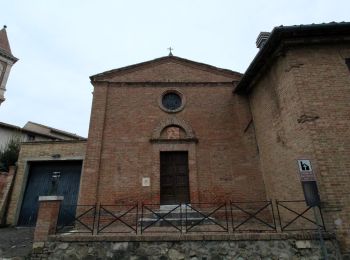
Te voet


• Trail created by Parco Artistico, Naturale e Culurale della Val d'Orcia.

Te voet
• Trail created by Parco Artistico, Naturale e Culurale della Val d'Orcia.
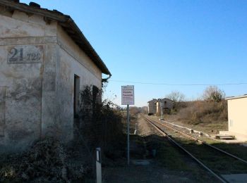
Te voet
• Trail created by Provincia di Siena. Symbol: red square with white stripe and black text
Te voet
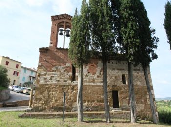
• Trail created by Sentieri delle Crete e Valdarbia.
Te voet
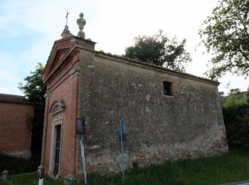
• Trail created by Sentieri delle Crete e Valdarbia.

Te voet
• Trail created by Sentieri delle Crete e Valdarbia.

Stappen
• More information on GPStracks.nl : http://www.gpstracks.nl
7 tochten weergegeven op 7
Gratisgps-wandelapplicatie
 SityTrail
IGN / Geografische instituten
SityTrail World
De wereld gaat voor u open