


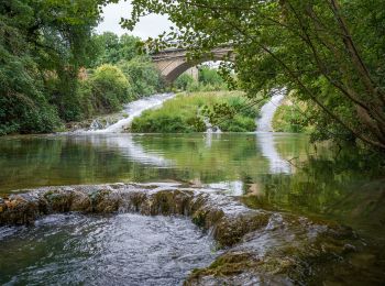
6,6 km | 8,1 km-effort
Monteriggioni: Ontdek de beste tochten: 8 te voet en 4 stappen. Al deze tochten, trajecten, routes en outdoor activiteiten zijn beschikbaar in onze SityTrail-apps voor smartphones en tablets.
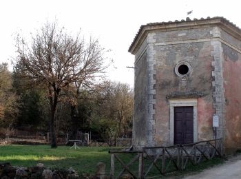
Te voet


• Trail created by Provincia di Siena. Symbol: red square and white stripe with black text
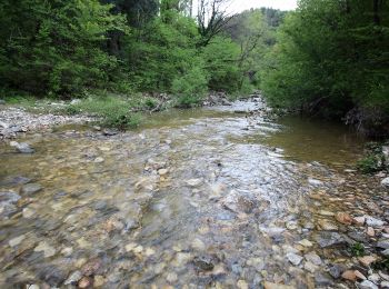
Te voet
• Trail created by CAI Siena. Symbol: red square and white bar with black text
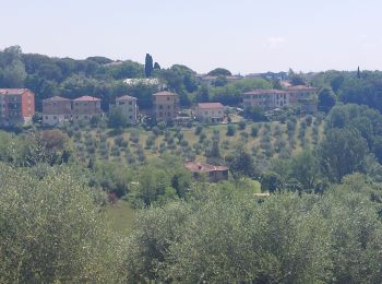
Te voet
• Trail created by CAI Siena. Symbol: red square and white bar with black text
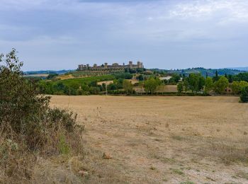
Te voet
• Trail created by CAI Siena. Symbol: red square and white bar with black text
Te voet
• Trail created by CAI Siena. Symbol: red square and white bar with black text
Te voet
• Trail created by CAI Siena. Symbol: red square and white bar with black text
Te voet
• Trail created by CAI Siena. Symbol: red square and white bar with black text
Stappen
Te voet
• Trail created by CAI Siena. Symbol: red square and white bar with black text
Stappen

Stappen
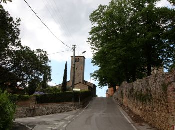
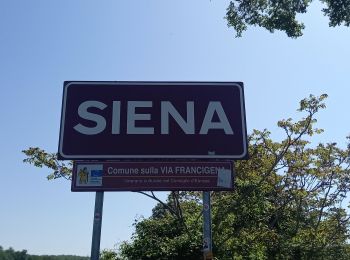
• Etappe 3 Monteriggione - Siena
Stappen
12 tochten weergegeven op 12
Gratisgps-wandelapplicatie
 SityTrail
IGN / Geografische instituten
SityTrail World
De wereld gaat voor u open