


18,7 km | 36 km-effort
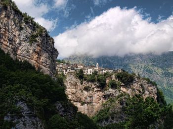
Triora: Ontdek de beste tochten: 6 te voet en 3 stappen. Al deze tochten, trajecten, routes en outdoor activiteiten zijn beschikbaar in onze SityTrail-apps voor smartphones en tablets.
Te voet


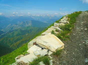
• Trail created by Club Alpino Italiano. Sentiero Italia CAI 2019

Te voet
• Trail created by Club Alpino Italiano. Symbol: unmarked

Te voet
• Trail created by Club Alpino Italiano. Sentiero Italia CAI 2019 Symbol: AV on white red flag
Te voet
Te voet
Stappen
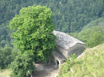
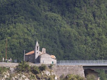
• Découverte du "Village des Sorcières" et du "Village des Lauzes". Vaste territoire au pied des sommets les plus hauts...
Te voet

Stappen
Stappen
9 tochten weergegeven op 9
Gratisgps-wandelapplicatie
 SityTrail
IGN / Geografische instituten
SityTrail World
De wereld gaat voor u open