![](/images/other/stat-length.png)
Negrar di Valpolicella, Verona, Te voet: Top van de beste wandelroutes, trajecten, tochten en wandelingen
Negrar di Valpolicella: Ontdek de beste tochten: 5 te voet. Al deze tochten, trajecten, routes en outdoor activiteiten zijn beschikbaar in onze SityTrail-apps voor smartphones en tablets.
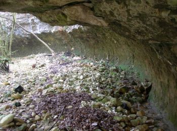
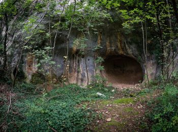
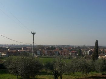
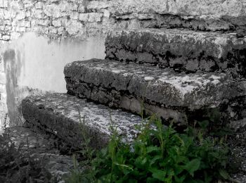
De beste trajecten (5)
![Tocht Te voet Negrar di Valpolicella - Quinzano - Montecchio - Photo](https://media.geolcdn.com/t/350/260/81e7166a-313f-4b9e-9c6c-5c2a1d903a39.jpeg&format=jpg&maxdim=2)
![Te voet Te voet](https://static1.geolcdn.com/sitytour/trail-icons/100.png)
Km
Te voet
![](/images/other/stat-length.png)
![](https://static1.geolcdn.com/siteimages/upload/files/1508320355ic_sort_den_pos_24dp.png)
![](https://static1.geolcdn.com/siteimages/upload/files/1508320355ic_sort_den_neg_24dp.png)
![](https://static1.geolcdn.com/siteimages/upload/files/16400158638029165_repeat_loop_refresh_sync_direction_icon.png)
• Trail created by Club Alpino Italiano Sezione di Verona. Symbol: 262 on white red flag
![Tocht Te voet Negrar di Valpolicella - Avesa - Cà Antolini - Photo](https://media.geolcdn.com/t/350/260/e3b5363a-92a9-4009-8516-0cdcff7dc187.jpeg&format=jpg&maxdim=2)
![Te voet Te voet](https://static1.geolcdn.com/sitytour/trail-icons/100.png)
Km
Te voet
![](/images/other/stat-length.png)
![](https://static1.geolcdn.com/siteimages/upload/files/1508320355ic_sort_den_pos_24dp.png)
![](https://static1.geolcdn.com/siteimages/upload/files/1508320355ic_sort_den_neg_24dp.png)
![](https://static1.geolcdn.com/siteimages/upload/files/16400158638029165_repeat_loop_refresh_sync_direction_icon.png)
• Trail created by Club Alpino Italiano Sezione di Verona.
![Tocht Te voet Negrar di Valpolicella - Parona - Montecchio - Photo](https://media.geolcdn.com/t/350/260/f1f793ef-d72a-4983-8eef-11fd5a1ef43e.jpeg&format=jpg&maxdim=2)
![Te voet Te voet](https://static1.geolcdn.com/sitytour/trail-icons/100.png)
Km
Te voet
![](/images/other/stat-length.png)
![](https://static1.geolcdn.com/siteimages/upload/files/1508320355ic_sort_den_pos_24dp.png)
![](https://static1.geolcdn.com/siteimages/upload/files/1508320355ic_sort_den_neg_24dp.png)
![](https://static1.geolcdn.com/siteimages/upload/files/16400158638029165_repeat_loop_refresh_sync_direction_icon.png)
• Trail created by Club Alpino Italiano Sezione di Verona. Symbol: 261 on white red flag
![Tocht Te voet Negrar di Valpolicella - Dorsale delle Cinque Valli - Photo](https://media.geolcdn.com/t/350/260/36d99786-cf1f-42dc-9bb5-00c6e3e285cd.jpeg&format=jpg&maxdim=2)
![Te voet Te voet](https://static1.geolcdn.com/sitytour/trail-icons/100.png)
Km
Te voet
![](/images/other/stat-length.png)
![](https://static1.geolcdn.com/siteimages/upload/files/1508320355ic_sort_den_pos_24dp.png)
![](https://static1.geolcdn.com/siteimages/upload/files/1508320355ic_sort_den_neg_24dp.png)
![](https://static1.geolcdn.com/siteimages/upload/files/16400158638029165_repeat_loop_refresh_sync_direction_icon.png)
• Trail created by Club Alpino Italiano Sezione di Verona. Symbol: 270 on white red flag
![Tocht Te voet Negrar di Valpolicella - Cà Antolini - Erbezzo - Photo](https://media.geolcdn.com/t/350/260/15622d23-d5bf-44f0-8144-74dd1511bca6.jpeg&format=jpg&maxdim=2)
![Te voet Te voet](https://static1.geolcdn.com/sitytour/trail-icons/100.png)
Km
Te voet
![](/images/other/stat-length.png)
![](https://static1.geolcdn.com/siteimages/upload/files/1508320355ic_sort_den_pos_24dp.png)
![](https://static1.geolcdn.com/siteimages/upload/files/1508320355ic_sort_den_neg_24dp.png)
![](https://static1.geolcdn.com/siteimages/upload/files/16400158638029165_repeat_loop_refresh_sync_direction_icon.png)
• Trail created by Club Alpino Italiano Sezione di San Pietro in Cariano. relation mantained by Club Alpino Italiano S...
5 tochten weergegeven op 5
Gratisgps-wandelapplicatie