


14 km | 21 km-effort
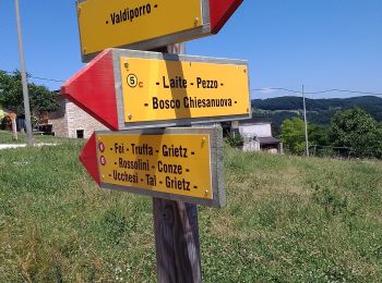
Bosco Chiesanuova: Ontdek de beste tochten: 17 te voet. Al deze tochten, trajecten, routes en outdoor activiteiten zijn beschikbaar in onze SityTrail-apps voor smartphones en tablets.
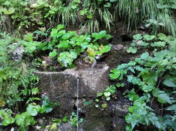
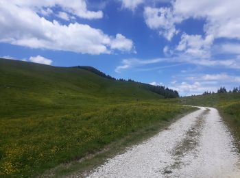
Te voet


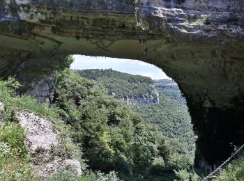
• Trail created by Parco Naturale Regionale della Lessinia.
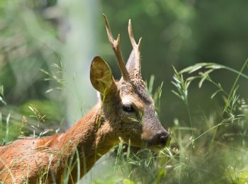
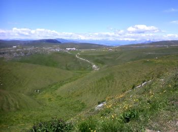
Te voet
• Trail created by Parco Naturale Regionale della Lessinia.
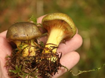
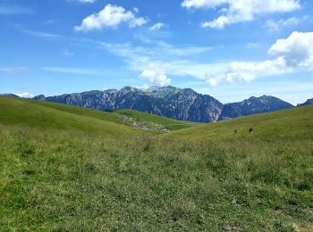
Te voet
• Trail created by Parco Naturale Regionale della Lessinia.
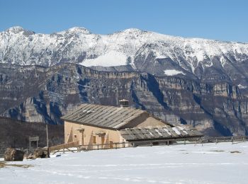
Te voet
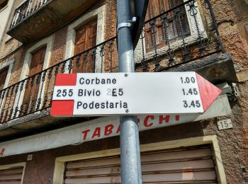
• Trail created by Società degli Alpinisti Tridentini. Symbol: flag red-white, bandiera rosso-bianco Website: http:/...
Te voet
• Trail created by Club Alpino Italiano Sezione di Bosco Chiesanuova. Symbol: 254 on white red flag
Te voet
• Trail created by Club Alpino Italiano Sezione di Bosco Chiesanuova. relation mantained by Club Alpino Italiano Sezio...
Te voet
• Trail created by Club Alpino Italiano Sezione di Bosco Chiesanuova. Symbol: 256 on white red flag Website: http://...
Te voet
Te voet
Te voet
Te voet
Te voet
Te voet
Te voet
Te voet
Te voet

Te voet
17 tochten weergegeven op 17
Gratisgps-wandelapplicatie
 SityTrail
IGN / Geografische instituten
SityTrail World
De wereld gaat voor u open