Schio, Vicenza, Te voet: Top van de beste wandelroutes, trajecten, tochten en wandelingen

Schio: Ontdek de beste tochten: 7 te voet. Al deze tochten, trajecten, routes en outdoor activiteiten zijn beschikbaar in onze SityTrail-apps voor smartphones en tablets.


De beste trajecten (7)
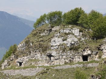
Tocht Te voet Schio - Cerbaro - Busa Novegno - Photo
Te voet 3.792
Km
GUIDE+

Te voet

Gemakkelijk
Schio, Veneto, Vicenza, Italy
3,8 km | 5,9 km-effort
1h 20min
6 m
607 m
Neen
SityTrail - itinéraires balisés pédestres

• Trail created by CAI. Symbol: 433 on white red flag Website: http://www.caischio.it/
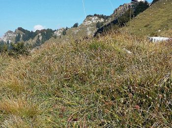
Tocht Te voet Schio - Colletto Piccolo - Busa Novegno - Photo
Te voet 5.973
Km
GUIDE+

Te voet

Gemakkelijk
Schio, Veneto, Vicenza, Italy
6 km | 12,8 km-effort
2h 54min
669 m
36 m
Neen
SityTrail - itinéraires balisés pédestres

• Trail created by CAI. Symbol: 455 on white red flag Website: http://www.caischio.it/

Tocht Te voet Schio - Cerbaro - Monte Priaforà - Photo
Te voet 4.87
Km
GUIDE+

Te voet

Gemakkelijk
Schio, Veneto, Vicenza, Italy
4,9 km | 12 km-effort
2h 44min
714 m
6 m
Neen
SityTrail - itinéraires balisés pédestres

• Trail created by CAI. Symbol: 435 on white red flag Website: http://www.caischio.it/

Tocht Te voet Schio - Sentiero SR1 - Photo
Te voet 4.23
Km
GUIDE+

Te voet

Gemakkelijk
Schio, Veneto, Vicenza, Italy
4,2 km | 5,9 km-effort
1h 20min
128 m
125 m
Ja
SityTrail - itinéraires balisés pédestres

Tocht Te voet Schio - Sentiero SR2 - Photo
Te voet 5.195
Km
GUIDE+

Te voet

Gemakkelijk
Schio, Veneto, Vicenza, Italy
5,2 km | 7,3 km-effort
1h 39min
161 m
154 m
Ja
SityTrail - itinéraires balisés pédestres

Tocht Te voet Schio - Val del Rio - Photo
Te voet 4.11
Km
GUIDE+

Te voet

Gemakkelijk
Schio, Veneto, Vicenza, Italy
4,1 km | 7 km-effort
1h 35min
1 m
866 m
Neen
SityTrail - itinéraires balisés pédestres

• Trail created by CAI. Symbol: 480 on white red flag Website: http://www.cailonigo.it/

Tocht Te voet Schio - IT-444 - Photo
Te voet 3.929
Km
GUIDE+

Te voet

Gemakkelijk
Schio, Veneto, Vicenza, Italy
3,9 km | 10,5 km-effort
2h 22min
653 m
1 m
Neen
SityTrail - itinéraires balisés pédestres

• Trail created by CAI. Symbol: 444 on white red flag Website: http://www.caischio.it/

7 tochten weergegeven op 7

Gratisgps-wandelapplicatie

Logo SityTrail SityTrail

IGN / Geografische instituten

SityTrail uit de App Store downloaden SityTrail uit Google Play downloaden

Logo SityTrail SityTrail World

De wereld gaat voor u open

SityTrail uit de App Store downloaden SityTrail uit Google Play downloaden SityTrail op Huawei AppGallery downloaden

Activiteiten

Sluiten
Mijn abonnementen