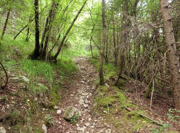
Belluno, Belluno, Te voet: Top van de beste wandelroutes, trajecten, tochten en wandelingen

Belluno: Ontdek de beste tochten: 10 te voet en 1 stappen. Al deze tochten, trajecten, routes en outdoor activiteiten zijn beschikbaar in onze SityTrail-apps voor smartphones en tablets.


De beste trajecten (11)
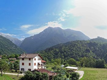
Tocht Te voet Belluno - IT-506 - Photo
Te voet 9.122
Km
GUIDE+

Te voet

Medium
Belluno, Veneto, Belluno, Italy
9,1 km | 23 km-effort
5h 18min
1131 m
887 m
Neen
SityTrail - itinéraires balisés pédestres

• Trail created by Club Alpino Italiano. Symbol: 506 on white red flag
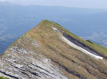
Tocht Te voet Belluno - IT-517 - Photo
Te voet 4.059
Km
GUIDE+

Te voet

Gemakkelijk
Belluno, Veneto, Belluno, Italy
4,1 km | 14,6 km-effort
3h 18min
1051 m
0 m
Neen
SityTrail - itinéraires balisés pédestres

• Trail created by Club Alpino Italiano sezione di Belluno. Symbol: 517 on white red flag
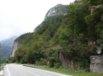
Tocht Te voet Belluno - Sentiero C.A.I. 503 - Photo
Te voet 10.706
Km
GUIDE+

Te voet

Medium
Belluno, Veneto, Belluno, Italy
10,7 km | 29 km-effort
6h 33min
1172 m
1922 m
Neen
SityTrail - itinéraires balisés pédestres

• Trail created by Club Alpino Italiano. Symbol: flag red-white, bandiera rosso-bianco
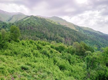
Tocht Te voet Belluno - IT-519 - Photo
Te voet 4.483
Km
GUIDE+

Te voet

Gemakkelijk
Belluno, Veneto, Belluno, Italy
4,5 km | 7,9 km-effort
1h 48min
228 m
355 m
Neen
SityTrail - itinéraires balisés pédestres

• Trail created by Club Alpino Italiano.
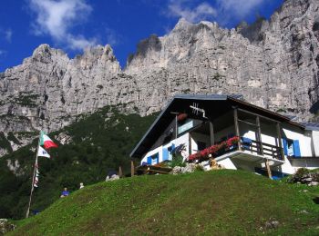
Tocht Te voet Belluno - IT-501 - Photo
Te voet 5.893
Km
GUIDE+

Te voet

Gemakkelijk
Belluno, Veneto, Belluno, Italy
5,9 km | 15,4 km-effort
3h 30min
906 m
137 m
Neen
SityTrail - itinéraires balisés pédestres

• Trail created by Club Alpino Italiano. Symbol: 501 on white red flag
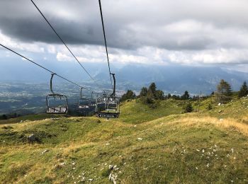
Tocht Te voet Belluno - Sentiero Europeo E7 - Photo
Te voet 4.284
Km
GUIDE+

Te voet

Gemakkelijk
Belluno, Veneto, Belluno, Italy
4,3 km | 7,9 km-effort
1h 47min
0 m
1079 m
Neen
SityTrail - itinéraires balisés pédestres

Tocht Te voet Belluno - IT-508 - Photo
Te voet 3.698
Km
GUIDE+

Te voet

Gemakkelijk
Belluno, Veneto, Belluno, Italy
3,7 km | 14,3 km-effort
3h 14min
1057 m
0 m
Neen
SityTrail - itinéraires balisés pédestres

Tocht Te voet Belluno - IT-509 - Photo
Te voet 8.816
Km
GUIDE+

Te voet

Gemakkelijk
Belluno, Veneto, Belluno, Italy
8,8 km | 19,3 km-effort
4h 22min
875 m
512 m
Neen
SityTrail - itinéraires balisés pédestres

• Trail created by Club Alpino Italiano.

Tocht Te voet Belluno - IT-507 - Photo
Te voet 4.392
Km
GUIDE+

Te voet

Gemakkelijk
Belluno, Veneto, Belluno, Italy
4,4 km | 14,6 km-effort
3h 19min
968 m
157 m
Neen
SityTrail - itinéraires balisés pédestres

• Trail created by Club Alpino Italiano. Symbol: flag red-white, bandiera rosso-bianco

Tocht Te voet Belluno - IT-511 - Photo
Te voet 5.28
Km
GUIDE+

Te voet

Medium
Belluno, Veneto, Belluno, Italy
5,3 km | 21 km-effort
4h 51min
1604 m
16 m
Neen
SityTrail - itinéraires balisés pédestres

• Trail created by Club Alpino Italiano. Symbol: 507 on white red flag

Tocht Stappen Belluno - Jour 4 - Photo
Stappen 14.591
Km

Stappen

Medium
Belluno, Veneto, Belluno, Italy
14,6 km | 23 km-effort
7h 27min
601 m
867 m
Neen
ochon

11 tochten weergegeven op 11

Gratisgps-wandelapplicatie

Logo SityTrail SityTrail

IGN / Geografische instituten

SityTrail uit de App Store downloaden SityTrail uit Google Play downloaden

Logo SityTrail SityTrail World

De wereld gaat voor u open

SityTrail uit de App Store downloaden SityTrail uit Google Play downloaden SityTrail op Huawei AppGallery downloaden

Activiteiten

Sluiten
Mijn abonnementen