


4,8 km | 8,1 km-effort
Fermo: Ontdek de beste tochten: 8 te voet en 1 stappen. Al deze tochten, trajecten, routes en outdoor activiteiten zijn beschikbaar in onze SityTrail-apps voor smartphones en tablets.
Stappen


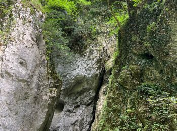
• Tocht vanaf het gehucht Rubbiano naar de kloof van de fiume Tenna tot aan de splitsing naar het San Leonardo klooster...

Te voet

Te voet
Te voet
Te voet
Te voet
Te voet
Te voet
Te voet
9 tochten weergegeven op 9
Gratisgps-wandelapplicatie
 SityTrail
IGN / Geografische instituten
SityTrail World
De wereld gaat voor u open