Soraga di Fassa, Provincia di Trento, Te voet: Top van de beste wandelroutes, trajecten, tochten en wandelingen

Soraga di Fassa: Ontdek de beste tochten: 3 te voet. Al deze tochten, trajecten, routes en outdoor activiteiten zijn beschikbaar in onze SityTrail-apps voor smartphones en tablets.


De beste trajecten (3)
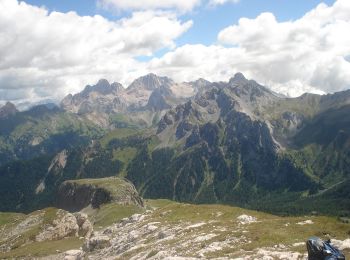
Tocht Te voet Soraga di Fassa - IT-E616 - Photo
Te voet 7.402
Km
GUIDE+

Te voet

Medium
Soraga di Fassa, Trento-Zuid-Tirol, Provincia di Trento, Italy
7,4 km | 21 km-effort
4h 39min
1299 m
33 m
Neen
SityTrail - itinéraires balisés pédestres

• Trail created by Società degli Alpinisti Tridentini. Website: http://www.sat.tn.it/
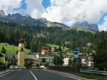
Tocht Te voet Soraga di Fassa - IT-E556 - Photo
Te voet 3.338
Km
GUIDE+

Te voet

Gemakkelijk
Soraga di Fassa, Trento-Zuid-Tirol, Provincia di Trento, Italy
3,3 km | 7,9 km-effort
1h 47min
452 m
0 m
Neen
SityTrail - itinéraires balisés pédestres

• Trail created by Società degli Alpinisti Tridentini. Website: http://www.sat.tn.it/
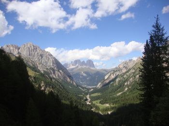
Tocht Te voet Soraga di Fassa - (SI C16S) Rifugio Fuciade - Passo Cirelle - Rifugio Contrin - Photo
Te voet 7.813
Km
GUIDE+

Te voet

Gemakkelijk
Soraga di Fassa, Trento-Zuid-Tirol, Provincia di Trento, Italy
7,8 km | 17,4 km-effort
3h 56min
728 m
679 m
Neen
SityTrail - itinéraires balisés pédestres

• Sentiero Italia CAI 2019

3 tochten weergegeven op 3

Gratisgps-wandelapplicatie

Logo SityTrail SityTrail

IGN / Geografische instituten

SityTrail uit de App Store downloaden SityTrail uit Google Play downloaden

Logo SityTrail SityTrail World

De wereld gaat voor u open

SityTrail uit de App Store downloaden SityTrail uit Google Play downloaden SityTrail op Huawei AppGallery downloaden

Activiteiten

Sluiten
Mijn abonnementen