


4 km | 6,7 km-effort
Vermiglio: Ontdek de beste tochten: 13 te voet en 1 stappen. Al deze tochten, trajecten, routes en outdoor activiteiten zijn beschikbaar in onze SityTrail-apps voor smartphones en tablets.
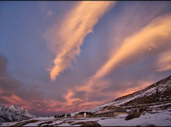
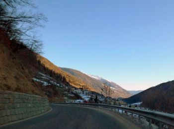
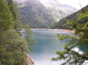
Te voet


• Trail created by Società degli Alpinisti Tridentini. Website: http://www.sat.tn.it/
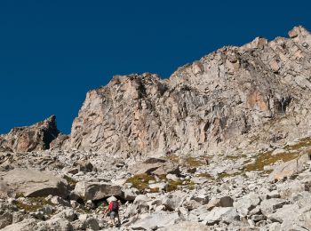
Te voet
• Trail created by Società degli Alpinisti Tridentini. Website: http://www.sat.tn.it/
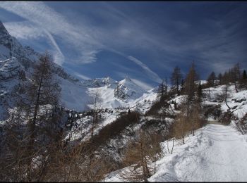
Te voet
• Trail created by Società degli Alpinisti Tridentini. Website: http://www.sat.tn.it/
Te voet
• Trail created by Società degli Alpinisti Tridentini. Website: http://www.sat.tn.it/
Te voet
• Trail created by Società degli Alpinisti Tridentini. Website: http://www.sat.tn.it/
Te voet
• Symbol: grünes "BTT" (für Biotopo Torbiera del Tonale) auf weißen Grund
Te voet
• Trail created by Società degli Alpinisti Tridentini. Website: http://www.sat.tn.it/
Te voet
• Trail created by Società degli Alpinisti Tridentini. Website: http://www.sat.tn.it/

Te voet
• Trail created by Società degli Alpinisti Tridentini. Website: http://www.sat.tn.it/
Te voet
• Trail created by Società degli Alpinisti Tridentini. Website: http://www.sat.tn.it/
Te voet
• Trail created by Società degli Alpinisti Tridentini. Website: http://www.sat.tn.it/
Te voet
• Trail created by Società degli Alpinisti Tridentini. Website: http://www.sat.tn.it/

Te voet
• Trail created by Società degli Alpinisti Tridentini. Website: http://www.sat.tn.it/

Stappen
14 tochten weergegeven op 14
Gratisgps-wandelapplicatie
 SityTrail
IGN / Geografische instituten
SityTrail World
De wereld gaat voor u open