![](/images/other/stat-length.png)
- Tochten
- Te voet
- Italy
- Emilia-Romagna
- Forlì-Cesena
- Santa Sofia
Santa Sofia, Forlì-Cesena, Te voet: Top van de beste wandelroutes, trajecten, tochten en wandelingen
Santa Sofia: Ontdek de beste tochten: 43 te voet. Al deze tochten, trajecten, routes en outdoor activiteiten zijn beschikbaar in onze SityTrail-apps voor smartphones en tablets.
De beste trajecten (43)
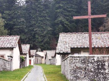
![Tocht Te voet Santa Sofia - All’Eremo di Camaldoli per il crinale di Poggio Scali - Photo](https://media.geolcdn.com/t/350/260/daaa10d4-a0ea-4fac-affc-e3ae947166ab.jpeg&format=jpg&maxdim=2)
![Te voet Te voet](https://static1.geolcdn.com/sitytour/trail-icons/100.png)
Km
Te voet
![](/images/other/stat-length.png)
![](https://static1.geolcdn.com/siteimages/upload/files/1508320355ic_sort_den_pos_24dp.png)
![](https://static1.geolcdn.com/siteimages/upload/files/1508320355ic_sort_den_neg_24dp.png)
![](https://static1.geolcdn.com/siteimages/upload/files/16400158638029165_repeat_loop_refresh_sync_direction_icon.png)
• Trail created by Parco Nazionale Foreste Casentinesi.
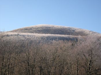
![Tocht Te voet Santa Sofia - Nel cuore delle Foreste di Campigna - Photo](https://media.geolcdn.com/t/350/260/41761367-fcc8-4656-83eb-19688b7085c3.jpeg&format=jpg&maxdim=2)
![Te voet Te voet](https://static1.geolcdn.com/sitytour/trail-icons/100.png)
Km
Te voet
![](/images/other/stat-length.png)
![](https://static1.geolcdn.com/siteimages/upload/files/1508320355ic_sort_den_pos_24dp.png)
![](https://static1.geolcdn.com/siteimages/upload/files/1508320355ic_sort_den_neg_24dp.png)
![](https://static1.geolcdn.com/siteimages/upload/files/16400158638029165_repeat_loop_refresh_sync_direction_icon.png)
• Trail created by Parco Nazionale Foreste Casentinesi.
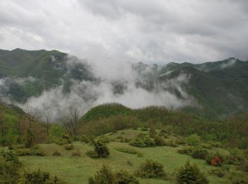
![Tocht Te voet Santa Sofia - Dai prati delle Mandriacce alla Burraia - Photo](https://media.geolcdn.com/t/350/260/ccfd6869-58ae-4cdf-980d-0570c931ce2e.jpeg&format=jpg&maxdim=2)
![Te voet Te voet](https://static1.geolcdn.com/sitytour/trail-icons/100.png)
Km
Te voet
![](/images/other/stat-length.png)
![](https://static1.geolcdn.com/siteimages/upload/files/1508320355ic_sort_den_pos_24dp.png)
![](https://static1.geolcdn.com/siteimages/upload/files/1508320355ic_sort_den_neg_24dp.png)
![](https://static1.geolcdn.com/siteimages/upload/files/16400158638029165_repeat_loop_refresh_sync_direction_icon.png)
• Trail created by Parco Nazionale Foreste Casentinesi.
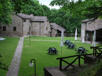
![Tocht Te voet Santa Sofia - Per vedere la valle del Giardino - Photo](https://media.geolcdn.com/t/350/260/319067b0-fba9-49c2-8b7b-973f98bfc93f.jpeg&format=jpg&maxdim=2)
![Te voet Te voet](https://static1.geolcdn.com/sitytour/trail-icons/100.png)
Km
Te voet
![](/images/other/stat-length.png)
![](https://static1.geolcdn.com/siteimages/upload/files/1508320355ic_sort_den_pos_24dp.png)
![](https://static1.geolcdn.com/siteimages/upload/files/1508320355ic_sort_den_neg_24dp.png)
![](https://static1.geolcdn.com/siteimages/upload/files/16400158638029165_repeat_loop_refresh_sync_direction_icon.png)
• Trail created by Parco Nazionale Foreste Casentinesi.
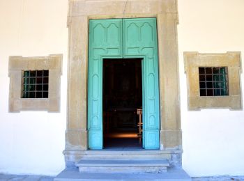
![Tocht Te voet Santa Sofia - Solitari altopiani nella valle del Bidente - Photo](https://media.geolcdn.com/t/350/260/d0a92580-4d6c-43f4-82b8-927f1d0b1f7c.jpeg&format=jpg&maxdim=2)
![Te voet Te voet](https://static1.geolcdn.com/sitytour/trail-icons/100.png)
Km
Te voet
![](/images/other/stat-length.png)
![](https://static1.geolcdn.com/siteimages/upload/files/1508320355ic_sort_den_pos_24dp.png)
![](https://static1.geolcdn.com/siteimages/upload/files/1508320355ic_sort_den_neg_24dp.png)
![](https://static1.geolcdn.com/siteimages/upload/files/16400158638029165_repeat_loop_refresh_sync_direction_icon.png)
• Trail created by Parco Nazionale Foreste Casentinesi.
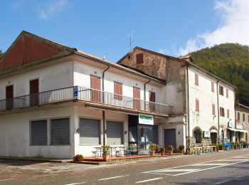
![Tocht Te voet Santa Sofia - (SI L06) Passo della Calla - Passo del Muraglione - Photo](https://media.geolcdn.com/t/350/260/e9201934-1504-4de1-90ca-58ff0ff3313b.jpeg&format=jpg&maxdim=2)
![Te voet Te voet](https://static1.geolcdn.com/sitytour/trail-icons/100.png)
Km
Te voet
![](/images/other/stat-length.png)
![](https://static1.geolcdn.com/siteimages/upload/files/1508320355ic_sort_den_pos_24dp.png)
![](https://static1.geolcdn.com/siteimages/upload/files/1508320355ic_sort_den_neg_24dp.png)
![](https://static1.geolcdn.com/siteimages/upload/files/16400158638029165_repeat_loop_refresh_sync_direction_icon.png)
• Sentiero Italia CAI 2019
![Tocht Te voet Santa Sofia - Sentiero Natura Cullacce - Photo](https://media.geolcdn.com/t/350/260/bfee71db-8eee-4544-afff-b81c80d3af10.jpeg&format=jpg&maxdim=2)
![Te voet Te voet](https://static1.geolcdn.com/sitytour/trail-icons/100.png)
Km
Te voet
![](/images/other/stat-length.png)
![](https://static1.geolcdn.com/siteimages/upload/files/1508320355ic_sort_den_pos_24dp.png)
![](https://static1.geolcdn.com/siteimages/upload/files/1508320355ic_sort_den_neg_24dp.png)
![](https://static1.geolcdn.com/siteimages/upload/files/16400158638029165_repeat_loop_refresh_sync_direction_icon.png)
• Trail created by Parco Nazionale delle Foreste Casentinesi.
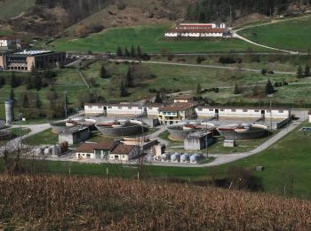
![Tocht Te voet Santa Sofia - IT-271y - Photo](https://media.geolcdn.com/t/350/260/3603a1f7-12a6-43dc-9a52-23ac5480ff96.jpeg&format=jpg&maxdim=2)
![Te voet Te voet](https://static1.geolcdn.com/sitytour/trail-icons/100.png)
Km
Te voet
![](/images/other/stat-length.png)
![](https://static1.geolcdn.com/siteimages/upload/files/1508320355ic_sort_den_pos_24dp.png)
![](https://static1.geolcdn.com/siteimages/upload/files/1508320355ic_sort_den_neg_24dp.png)
![](https://static1.geolcdn.com/siteimages/upload/files/16400158638029165_repeat_loop_refresh_sync_direction_icon.png)
• Trail created by C.A.I..
![Tocht Te voet Santa Sofia - IT-B6 - Photo](https://media.geolcdn.com/t/350/260/1ca3dea6-eb5f-417d-8a45-a6398c6e3750.jpeg&format=jpg&maxdim=2)
![Te voet Te voet](https://static1.geolcdn.com/sitytour/trail-icons/100.png)
Km
Te voet
![](/images/other/stat-length.png)
![](https://static1.geolcdn.com/siteimages/upload/files/1508320355ic_sort_den_pos_24dp.png)
![](https://static1.geolcdn.com/siteimages/upload/files/1508320355ic_sort_den_neg_24dp.png)
![](https://static1.geolcdn.com/siteimages/upload/files/16400158638029165_repeat_loop_refresh_sync_direction_icon.png)
• Trail created by Unione di Comuni della Romagna Forlivese.
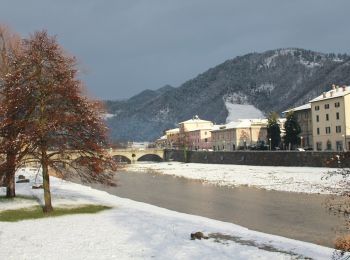
![Tocht Te voet Santa Sofia - IT-B5 - Photo](https://media.geolcdn.com/t/350/260/9cdf06fa-3621-41e4-ab8a-699a1bc006f8.jpeg&format=jpg&maxdim=2)
![Te voet Te voet](https://static1.geolcdn.com/sitytour/trail-icons/100.png)
Km
Te voet
![](/images/other/stat-length.png)
![](https://static1.geolcdn.com/siteimages/upload/files/1508320355ic_sort_den_pos_24dp.png)
![](https://static1.geolcdn.com/siteimages/upload/files/1508320355ic_sort_den_neg_24dp.png)
![](https://static1.geolcdn.com/siteimages/upload/files/16400158638029165_repeat_loop_refresh_sync_direction_icon.png)
• Trail created by Unione di Comuni della Romagna Forlivese.
![Tocht Te voet Santa Sofia - IT-B4 - Photo](https://media.geolcdn.com/t/350/260/3603a1f7-12a6-43dc-9a52-23ac5480ff96.jpeg&format=jpg&maxdim=2)
![Te voet Te voet](https://static1.geolcdn.com/sitytour/trail-icons/100.png)
Km
Te voet
![](/images/other/stat-length.png)
![](https://static1.geolcdn.com/siteimages/upload/files/1508320355ic_sort_den_pos_24dp.png)
![](https://static1.geolcdn.com/siteimages/upload/files/1508320355ic_sort_den_neg_24dp.png)
![](https://static1.geolcdn.com/siteimages/upload/files/16400158638029165_repeat_loop_refresh_sync_direction_icon.png)
• Trail created by Unione di Comuni della Romagna Forlivese. Il sito ufficiale riporta la destinazione come Gamberotti...
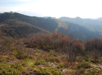
![Tocht Te voet Santa Sofia - IT-B3 - Photo](https://media.geolcdn.com/t/350/260/4da876d8-fa58-4a6c-bf6e-4d0293de6b39.jpeg&format=jpg&maxdim=2)
![Te voet Te voet](https://static1.geolcdn.com/sitytour/trail-icons/100.png)
Km
Te voet
![](/images/other/stat-length.png)
![](https://static1.geolcdn.com/siteimages/upload/files/1508320355ic_sort_den_pos_24dp.png)
![](https://static1.geolcdn.com/siteimages/upload/files/1508320355ic_sort_den_neg_24dp.png)
![](https://static1.geolcdn.com/siteimages/upload/files/16400158638029165_repeat_loop_refresh_sync_direction_icon.png)
• Trail created by Unione di Comuni della Romagna Forlivese.
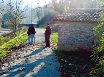
![Tocht Te voet Santa Sofia - IT-277 - Photo](https://media.geolcdn.com/t/350/260/37853114-e2e8-46d9-9c3e-ff6f7e5402d0.jpeg&format=jpg&maxdim=2)
![Te voet Te voet](https://static1.geolcdn.com/sitytour/trail-icons/100.png)
Km
Te voet
![](/images/other/stat-length.png)
![](https://static1.geolcdn.com/siteimages/upload/files/1508320355ic_sort_den_pos_24dp.png)
![](https://static1.geolcdn.com/siteimages/upload/files/1508320355ic_sort_den_neg_24dp.png)
![](https://static1.geolcdn.com/siteimages/upload/files/16400158638029165_repeat_loop_refresh_sync_direction_icon.png)
• Symbol: 277 on white red flag
![Tocht Te voet Santa Sofia - IT-275 - Photo](https://media.geolcdn.com/t/350/260/d8424018-fbb1-49f3-b123-d1f903c6116c.jpeg&format=jpg&maxdim=2)
![Te voet Te voet](https://static1.geolcdn.com/sitytour/trail-icons/100.png)
Km
Te voet
![](/images/other/stat-length.png)
![](https://static1.geolcdn.com/siteimages/upload/files/1508320355ic_sort_den_pos_24dp.png)
![](https://static1.geolcdn.com/siteimages/upload/files/1508320355ic_sort_den_neg_24dp.png)
![](https://static1.geolcdn.com/siteimages/upload/files/16400158638029165_repeat_loop_refresh_sync_direction_icon.png)
• Symbol: 275 on white red flag
![Tocht Te voet Santa Sofia - IT-257 - Photo](https://media.geolcdn.com/t/350/260/d0a92580-4d6c-43f4-82b8-927f1d0b1f7c.jpeg&format=jpg&maxdim=2)
![Te voet Te voet](https://static1.geolcdn.com/sitytour/trail-icons/100.png)
Km
Te voet
![](/images/other/stat-length.png)
![](https://static1.geolcdn.com/siteimages/upload/files/1508320355ic_sort_den_pos_24dp.png)
![](https://static1.geolcdn.com/siteimages/upload/files/1508320355ic_sort_den_neg_24dp.png)
![](https://static1.geolcdn.com/siteimages/upload/files/16400158638029165_repeat_loop_refresh_sync_direction_icon.png)
• Trail created by CAI Ravenna. Symbol: 257 on white red flag
![Tocht Te voet Santa Sofia - IT-261 - Photo](https://media.geolcdn.com/t/350/260/d0a92580-4d6c-43f4-82b8-927f1d0b1f7c.jpeg&format=jpg&maxdim=2)
![Te voet Te voet](https://static1.geolcdn.com/sitytour/trail-icons/100.png)
Km
Te voet
![](/images/other/stat-length.png)
![](https://static1.geolcdn.com/siteimages/upload/files/1508320355ic_sort_den_pos_24dp.png)
![](https://static1.geolcdn.com/siteimages/upload/files/1508320355ic_sort_den_neg_24dp.png)
![](https://static1.geolcdn.com/siteimages/upload/files/16400158638029165_repeat_loop_refresh_sync_direction_icon.png)
• Trail created by CAI Ravenna.
![Tocht Te voet Santa Sofia - IT-253 - Photo](https://media.geolcdn.com/t/350/260/87b6a798-a60b-4311-bb0e-0a48402e51e4.jpeg&format=jpg&maxdim=2)
![Te voet Te voet](https://static1.geolcdn.com/sitytour/trail-icons/100.png)
Km
Te voet
![](/images/other/stat-length.png)
![](https://static1.geolcdn.com/siteimages/upload/files/1508320355ic_sort_den_pos_24dp.png)
![](https://static1.geolcdn.com/siteimages/upload/files/1508320355ic_sort_den_neg_24dp.png)
![](https://static1.geolcdn.com/siteimages/upload/files/16400158638029165_repeat_loop_refresh_sync_direction_icon.png)
• Trail created by C.A.I..
![Tocht Te voet Santa Sofia - Un panoramico doppio anello sul Bidente delle Celle - Photo](https://media.geolcdn.com/t/350/260/ccfd6869-58ae-4cdf-980d-0570c931ce2e.jpeg&format=jpg&maxdim=2)
![Te voet Te voet](https://static1.geolcdn.com/sitytour/trail-icons/100.png)
Km
Te voet
![](/images/other/stat-length.png)
![](https://static1.geolcdn.com/siteimages/upload/files/1508320355ic_sort_den_pos_24dp.png)
![](https://static1.geolcdn.com/siteimages/upload/files/1508320355ic_sort_den_neg_24dp.png)
![](https://static1.geolcdn.com/siteimages/upload/files/16400158638029165_repeat_loop_refresh_sync_direction_icon.png)
• Trail created by Parco Nazionale Foreste Casentinesi.
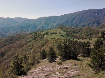
![Tocht Te voet Santa Sofia - San Paolo in Alpe: altopiano tra cielo e foresta - Photo](https://media.geolcdn.com/t/350/260/9dd7b232-d201-476a-84b4-8c320f0b3ec4.jpeg&format=jpg&maxdim=2)
![Te voet Te voet](https://static1.geolcdn.com/sitytour/trail-icons/100.png)
Km
Te voet
![](/images/other/stat-length.png)
![](https://static1.geolcdn.com/siteimages/upload/files/1508320355ic_sort_den_pos_24dp.png)
![](https://static1.geolcdn.com/siteimages/upload/files/1508320355ic_sort_den_neg_24dp.png)
![](https://static1.geolcdn.com/siteimages/upload/files/16400158638029165_repeat_loop_refresh_sync_direction_icon.png)
• Trail created by Parco Nazionale Foreste Casentinesi.
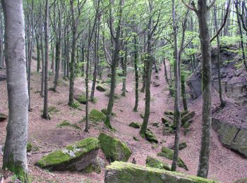
![Tocht Te voet Santa Sofia - Da Fiumari a Ballatoio e Villaneta - Photo](https://media.geolcdn.com/t/350/260/bfee71db-8eee-4544-afff-b81c80d3af10.jpeg&format=jpg&maxdim=2)
![Te voet Te voet](https://static1.geolcdn.com/sitytour/trail-icons/100.png)
Km
Te voet
![](/images/other/stat-length.png)
![](https://static1.geolcdn.com/siteimages/upload/files/1508320355ic_sort_den_pos_24dp.png)
![](https://static1.geolcdn.com/siteimages/upload/files/1508320355ic_sort_den_neg_24dp.png)
![](https://static1.geolcdn.com/siteimages/upload/files/16400158638029165_repeat_loop_refresh_sync_direction_icon.png)
• Trail created by Parco Nazionale Foreste Casentinesi.
20 tochten weergegeven op 43
Gratisgps-wandelapplicatie