


6,7 km | 10,6 km-effort
West Clare Municipal District: Ontdek de beste tochten: 3 te voet en 17 stappen. Al deze tochten, trajecten, routes en outdoor activiteiten zijn beschikbaar in onze SityTrail-apps voor smartphones en tablets.
Te voet


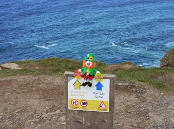
• Website: http://www.doolincliffwalk.com/
Te voet
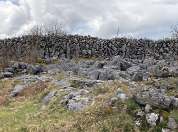
• Tocht aangemaakt door Burren National Park. Symbool: red dot
Te voet
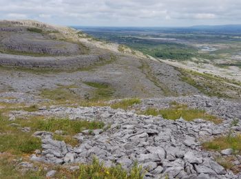
• Tocht aangemaakt door Burren National Park. Symbool: blue dot
Stappen
Stappen
Stappen

Stappen
Stappen
Stappen
Stappen
Stappen
Stappen
Stappen
Stappen
Stappen
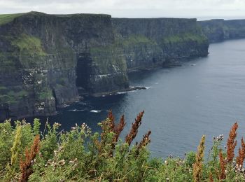
• Moher walk
Stappen
•
Stappen
Stappen
Stappen
Stappen
20 tochten weergegeven op 20
Gratisgps-wandelapplicatie
 SityTrail
IGN / Geografische instituten
SityTrail World
De wereld gaat voor u open