


7,3 km | 7,8 km-effort
Ireland: Ontdek de 357 beste wandel- en fietstochten. Onze catalogus die helemaal is samengesteld door wandelaars en toerfietsers staat vol prachtige landschappen die erop wachten om verkend te worden. Download deze routes in SityTrail, onze gratis gps wandel-app beschikbaar op Android en iOS.
Te voet


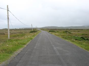
• Website: https://achilltourism.com/valley-loop-walk-sli-toin-a-tseanbhaile/
Te voet
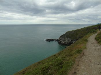
• Symbool: Green arrow on white background Website: https://www.irishtrails.ie/Trail/Howth---Cliff-Path-loop/107/
Te voet
• Symbool: Blue arrow on white background Website: https://www.irishtrails.ie/Trail/Howth---Tramline-loop/108/
Te voet
• Symbool: Red arrow on white background Website: https://www.irishtrails.ie/Trail/Howth---Black-Linn-loop/109/
Te voet
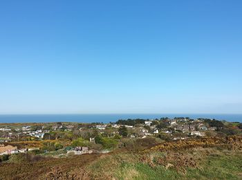
• Website: http://explorewestcork.ie/walking/the-drimoleague-heritage-walkways/
Te voet
• Website: http://explorewestcork.ie/walking/the-drimoleague-heritage-walkways/
Te voet
• Website: http://explorewestcork.ie/walking/the-drimoleague-heritage-walkways/
Te voet
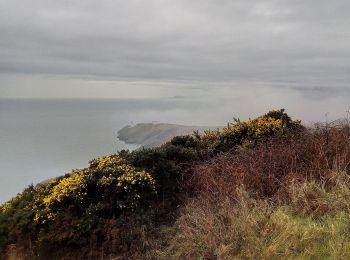
• “Water and ground in their extremity…” – Seamus Heaney The Sheep’s Head Way is a long distance walking trail in West ...
Te voet
• “Water and ground in their extremity…” – Seamus Heaney The Sheep’s Head Way is a long distance walking trail in West ...
Te voet
• “Water and ground in their extremity…” – Seamus Heaney The Sheep’s Head Way is a long distance walking trail in West ...
Te voet
• “Water and ground in their extremity…” – Seamus Heaney The Sheep’s Head Way is a long distance walking trail in West ...
Te voet
• “Water and ground in their extremity…” – Seamus Heaney The Sheep’s Head Way is a long distance walking trail in West ...
Te voet
• “Water and ground in their extremity…” – Seamus Heaney The Sheep’s Head Way is a long distance walking trail in West ...
Te voet
• “Water and ground in their extremity…” – Seamus Heaney The Sheep’s Head Way is a long distance walking trail in West ...
Te voet
• “Water and ground in their extremity…” – Seamus Heaney The Sheep’s Head Way is a long distance walking trail in West ...
Te voet
• “Water and ground in their extremity…” – Seamus Heaney The Sheep’s Head Way is a long distance walking trail in West ...
Te voet
• “Water and ground in their extremity…” – Seamus Heaney The Sheep’s Head Way is a long distance walking trail in West ...
Te voet
• Tocht aangemaakt door Wicklow Uplands Council. Symbool: Yellow Hiker Website: http://www.wicklowuplands.ie/the-sug...
Te voet
• Symbool: orange arrow
Te voet
• Tocht aangemaakt door Wicklow Uplands Council. Symbool: yellow hiker on black Website: http://www.irishtrails.ie/T...
20 tochten weergegeven op 357
Gratisgps-wandelapplicatie
 SityTrail
IGN / Geografische instituten
SityTrail World
De wereld gaat voor u open