


6,9 km | 7,4 km-effort
Pákozd: Ontdek de beste tochten: 5 te voet. Al deze tochten, trajecten, routes en outdoor activiteiten zijn beschikbaar in onze SityTrail-apps voor smartphones en tablets.
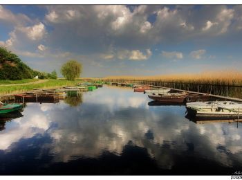
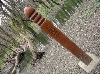
Te voet


• Itt a koncepciót kéne kitalálni, hogy kereszt vagy sáv !!!
Te voet
• Symbol: red triangle
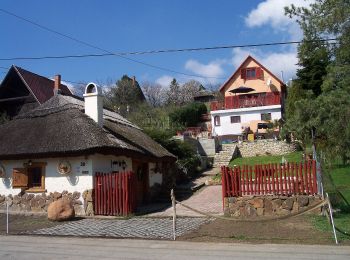
Te voet
• Symbol: red_cross
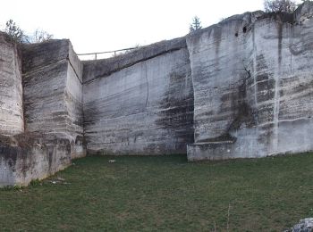
Te voet
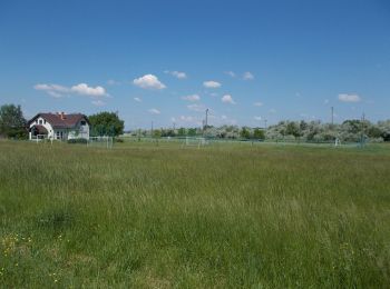
Te voet
5 tochten weergegeven op 5
Gratisgps-wandelapplicatie
 SityTrail
IGN / Geografische instituten
SityTrail World
De wereld gaat voor u open