


14,4 km | 15,6 km-effort
Szurdokpüspöki: Ontdek de beste tochten: 5 te voet. Al deze tochten, trajecten, routes en outdoor activiteiten zijn beschikbaar in onze SityTrail-apps voor smartphones en tablets.

Te voet


• Trail created by MUTKE.
Te voet
• Symbol: red triangle
Te voet
• Folytatódik észak-kelet felé, együtt a P+ jelzéssel.

Te voet
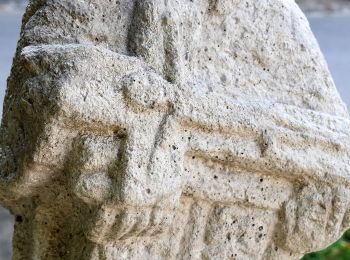
• Symbol: red cross

Te voet
• Symbol: green triangle
5 tochten weergegeven op 5
Gratisgps-wandelapplicatie
 SityTrail
IGN / Geografische instituten
SityTrail World
De wereld gaat voor u open