


18,7 km | 23 km-effort
Onbekend: Ontdek de beste tochten: 11 te voet en 1 stappen. Al deze tochten, trajecten, routes en outdoor activiteiten zijn beschikbaar in onze SityTrail-apps voor smartphones en tablets.
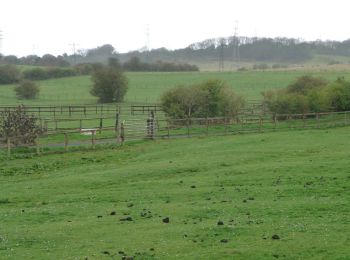
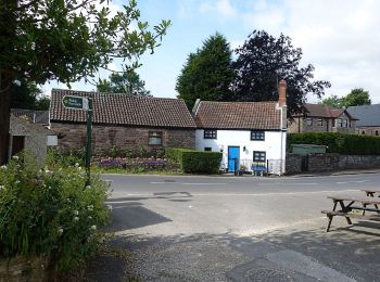
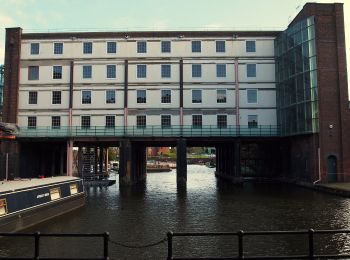
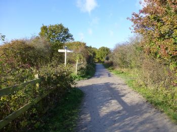
Te voet


• Symbool: red kite on white background
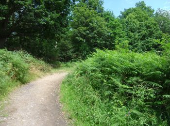
Te voet
• Tocht aangemaakt door Forestry England.
Te voet
• Symbool: Bede's Way, white text on blue square
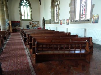
Te voet
Te voet
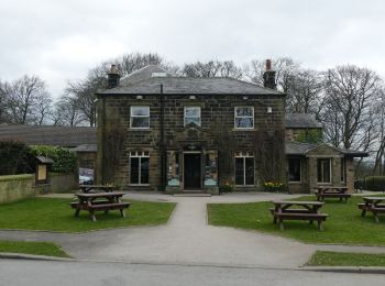
Te voet

Te voet
Te voet
Te voet

Te voet
Te voet

Stappen
• More information on GPStracks.nl : http://www.gpstracks.nl
12 tochten weergegeven op 12
Gratisgps-wandelapplicatie
 SityTrail
IGN / Geografische instituten
SityTrail World
De wereld gaat voor u open