


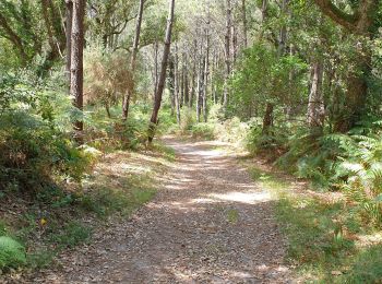
6,7 km | 7,9 km-effort
Seignosse: Ontdek de beste tochten: 18 stappen, 4 lopen en 1 trail. Al deze tochten, trajecten, routes en outdoor activiteiten zijn beschikbaar in onze SityTrail-apps voor smartphones en tablets.

Stappen


Stappen
Stappen
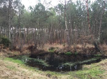
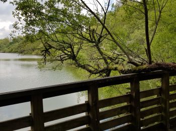
• 40 SEIGNOSSE-BOURG, réservé naturelle de l'étang noir, RD189, Porteut, Castet Bieilh, route Louis de Bourmont, l'étan...
Stappen
Stappen

Lopen
Stappen
Stappen
Stappen
Stappen
Lopen
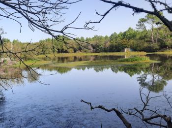
• depuis estagnots
Lopen
Lopen
Trail
Stappen
Stappen
Stappen
Stappen
Stappen
Stappen
20 tochten weergegeven op 23
Gratisgps-wandelapplicatie
 SityTrail
IGN / Geografische instituten
SityTrail World
De wereld gaat voor u open