
Accous, Pyrénées-Atlantiques, Te voet: Top van de beste wandelroutes, trajecten, tochten en wandelingen
Accous: Ontdek de beste tochten: 9 te voet, 26 stappen en 3 trail. Al deze tochten, trajecten, routes en outdoor activiteiten zijn beschikbaar in onze SityTrail-apps voor smartphones en tablets.
De beste trajecten (38)
Km
Stappen


Km
Te voet


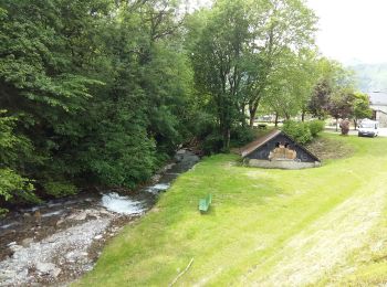
• Trail created by Commune d'Accous. Randonnée très facile 1h30 semi-boucle Symbol: bar Website: https://umap.opens...

Km
Te voet


• Trail created by Communauté de Communes du Haut-Béarn. Randonnée moyenne 4h15 semi-boucle Symbol: bar Website: ht...
Km
Te voet


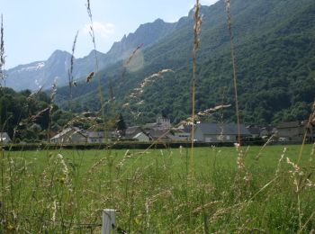
• Trail created by Communauté de Communes du Haut-Béarn. Randonnée facile 3h10 aller-retour Symbol: bar Website: ht...

Km
Te voet


• Trail created by Communauté de Communes du Haut-Béarn. pente moyenne 22% aller simple Symbol: bar Website: https:...
Km
Stappen


Km
Te voet


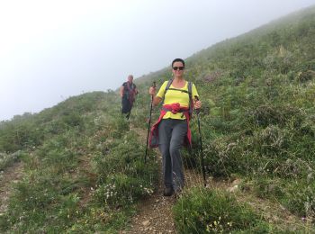
• Trail created by Communauté de Communes du Haut-Béarn - PLR de la Vallée d'Aspe / Parc National des Pyrénées. Randon...

Km
Te voet


• Trail created by Communauté de Communes du Haut-Béarn - PLR de la Vallée d'Aspe / Communauté de communes de la Vallée...

Km
Te voet


• Trail created by Parc National des Pyrénées. Symbol: bar Website: https://umap.openstreetmap.fr/fr/map/refonte-pla...

Km
Te voet


• Trail created by Communauté de Communes du Haut-Béarn - PLR de la Vallée d'Aspe / Communauté de communes de la Vallée...

Km
Te voet


• Trail created by Communauté de Communes du Haut-Béarn - Parc National des Pyrénées & Parque Natural de los Valles Occ...
Km
Trail


Km
Stappen


Km
Stappen


Km
Stappen



Km
Stappen


Km
Stappen


Km
Stappen


• Tour du Pouey, Orcun retour par Jouers

Km
Stappen


Km
Stappen


20 tochten weergegeven op 38
Gratisgps-wandelapplicatie


 SityTrail


