


8,8 km | 18,6 km-effort
Etsaut: Ontdek de beste tochten: 7 te voet, 36 stappen en 1 lopen. Al deze tochten, trajecten, routes en outdoor activiteiten zijn beschikbaar in onze SityTrail-apps voor smartphones en tablets.
Stappen


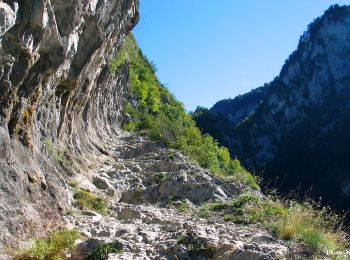
• Parcours plus facile dans le sens MATURE-COL ARRAS - Juillet 2014, pont des trungas en partie effondré
Stappen
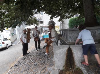
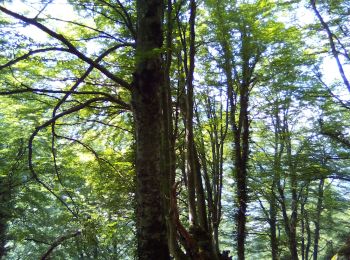
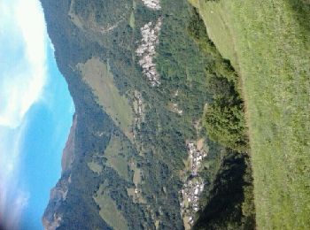
Te voet
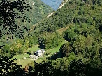
• Trail created by Commune d'Etsaut. Randonnée moyenne 3h40 aller-retour Symbol: bar Website: https://umap.openstre...
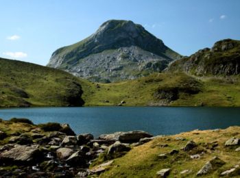
Te voet
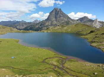
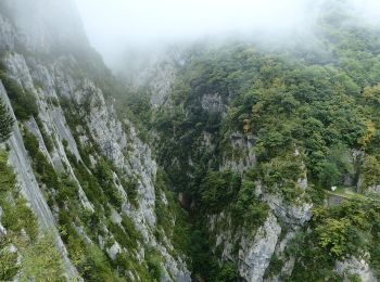
• Trail created by Communauté de Communes du Haut-Béarn. Randonnée difficile 5h00 semi-boucle Website: https://umap...
Te voet
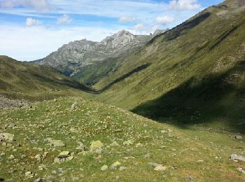
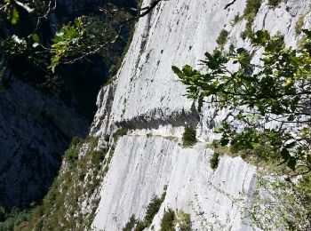
• Trail created by Communauté de Communes du Haut-Béarn. Randonnée moyenne 2h30 aller simple Website: https://umap....
Te voet
• Trail created by Communauté de Communes du Haut-Béarn. Randonnée facile 2h15 boucle Website: https://umap.openstr...

Stappen
Lopen
Stappen
Stappen
•
Stappen
•
Stappen
•

Stappen
•
Stappen
Stappen
Stappen
Stappen
Stappen
•
Stappen
Stappen
20 tochten weergegeven op 44
Gratisgps-wandelapplicatie
 SityTrail
IGN / Geografische instituten
SityTrail World
De wereld gaat voor u open