


8 km | 15,6 km-effort
Lées-Athas: Ontdek de beste tochten: 3 te voet, 7 stappen, 1 lopen en 1 trail. Al deze tochten, trajecten, routes en outdoor activiteiten zijn beschikbaar in onze SityTrail-apps voor smartphones en tablets.
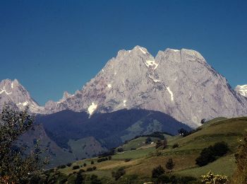
Te voet


• Trail created by Communauté de Communes du Haut-Béarn. Randonnée difficile 6h30 aller-retour Symbol: bar Website:...
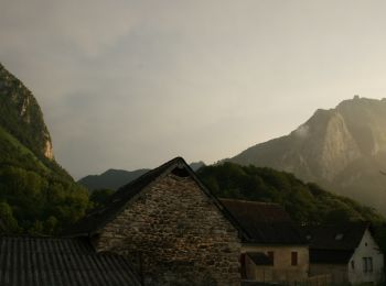
Te voet
• Trail created by Communauté de Communes du Haut-Béarn. Randonnée très facile 3h10 boucle et VTT Piste bleue Symbol:...
Stappen

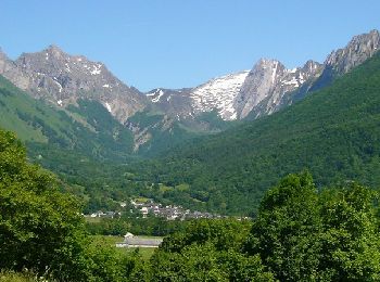
Te voet
• Trail created by Communauté de Communes du Haut-Béarn. Randonnée moyenne 5h00 aller-retour Symbol: bar Website: h...
Trail

Lopen

Stappen
Stappen
•
Stappen
Stappen
Stappen
Stappen
12 tochten weergegeven op 12
Gratisgps-wandelapplicatie
 SityTrail
IGN / Geografische instituten
SityTrail World
De wereld gaat voor u open