


14,3 km | 19,7 km-effort
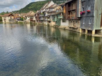
Ornans: Ontdek de beste tochten: 4 te voet, 49 stappen en 1 noords wandelen. Al deze tochten, trajecten, routes en outdoor activiteiten zijn beschikbaar in onze SityTrail-apps voor smartphones en tablets.
Stappen


Stappen
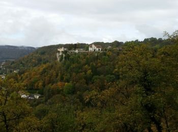
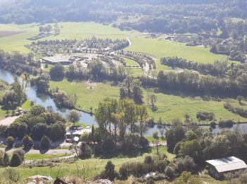
• belvédères et nature
Stappen
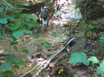
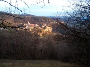
• belle balade
Stappen

Stappen
Stappen
Stappen

Noords wandelen
Stappen
Stappen
• Enregistré le 20 10 2016 Animateur Michel P.

Stappen
• Enregistré le 20 10 2016 Animateur Michel P.
Stappen
Stappen
Stappen

Stappen

Stappen
Stappen
Stappen
Stappen

Stappen
• Lil
20 tochten weergegeven op 54
Gratisgps-wandelapplicatie
 SityTrail
IGN / Geografische instituten
SityTrail World
De wereld gaat voor u open