


8,3 km | 9,6 km-effort
Pornic: Ontdek de beste tochten: 4 te voet, 104 stappen en 2 lopen. Al deze tochten, trajecten, routes en outdoor activiteiten zijn beschikbaar in onze SityTrail-apps voor smartphones en tablets.

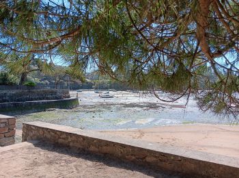
Stappen


Stappen
Stappen

Stappen
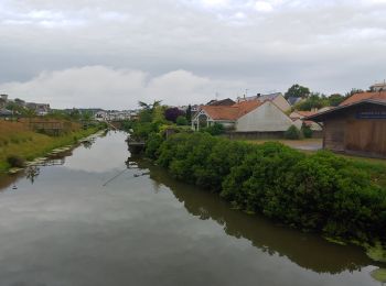
Stappen
Stappen

Stappen

Stappen

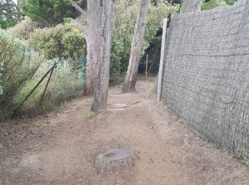
Stappen

Stappen
Stappen

Stappen

Stappen
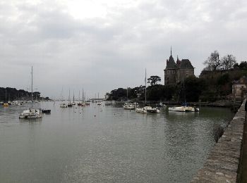
• Type: Circuit-44- Départ: Parking Du Château Nom: Circuit De Ste-Marie

Stappen
• visite de la vielle ville
Stappen
Stappen

Stappen

Stappen
Stappen

Te voet
20 tochten weergegeven op 110
Gratisgps-wandelapplicatie
 SityTrail
IGN / Geografische instituten
SityTrail World
De wereld gaat voor u open