


9,2 km | 12,2 km-effort
Plougastel-Daoulas: Ontdek de beste tochten: 2 te voet, 42 stappen, 1 noords wandelen, 12 lopen en 1 trail. Al deze tochten, trajecten, routes en outdoor activiteiten zijn beschikbaar in onze SityTrail-apps voor smartphones en tablets.

Stappen


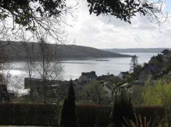
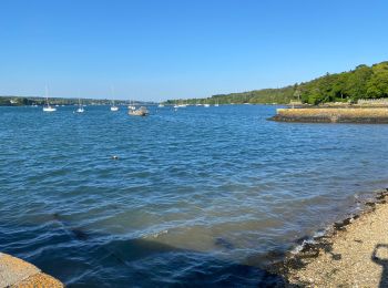
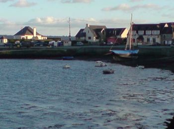
• Au départ du petit port du Caro, faites le tour de la pointe de l'Armorique avec un retour par le port de l'Auberlac'h.
Stappen
Stappen

Stappen
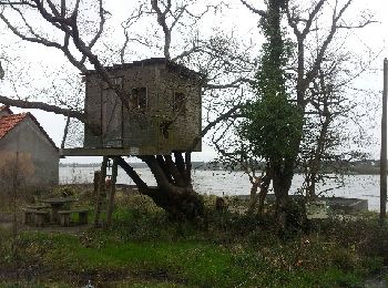
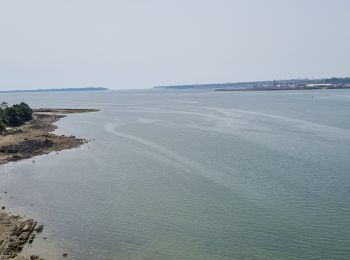
• ballade littoral campagne et urbaine
Stappen
• ballade littoral campagne et urbaine
Lopen
Stappen
Stappen
Stappen

Stappen
Noords wandelen

Te voet
• Trail created by www.brest.fr.
Stappen
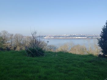
• Au départ du petit bourg de de Kernisi, la boucle nous emmène à travers bois, littoral, campagne et petits hameaux to...

Stappen
Stappen

Stappen

Stappen
Stappen
Stappen
Stappen
20 tochten weergegeven op 57
Gratisgps-wandelapplicatie
 SityTrail
IGN / Geografische instituten
SityTrail World
De wereld gaat voor u open