


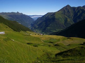
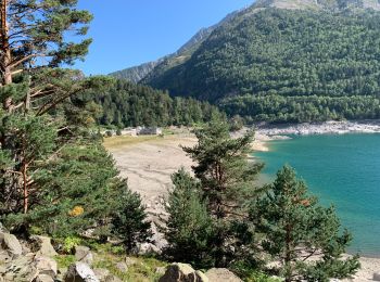
4,6 km | 10,2 km-effort
Luz-Saint-Sauveur: Ontdek de beste tochten: 12 te voet, 48 stappen, 3 lopen en 1 trail. Al deze tochten, trajecten, routes en outdoor activiteiten zijn beschikbaar in onze SityTrail-apps voor smartphones en tablets.
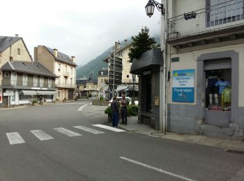
Stappen


Stappen
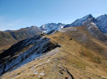
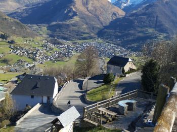
Te voet
Stappen

Lopen
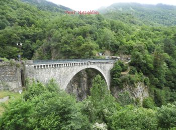
• Petite course nature avec part à ST Sauveur puis direction Luz , prendre le chemin de l'église Solférino, passer par...
Stappen
Stappen
Stappen

Te voet

Stappen
Stappen
Te voet
Te voet
Te voet
Te voet
Stappen
Stappen
Te voet
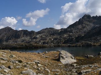
Trail
Stappen
20 tochten weergegeven op 64
Gratisgps-wandelapplicatie
 SityTrail
IGN / Geografische instituten
SityTrail World
De wereld gaat voor u open