


12,5 km | 21 km-effort
Peyreleau: Ontdek de beste tochten: 3 te voet, 34 stappen, 2 noords wandelen en 1 lopen. Al deze tochten, trajecten, routes en outdoor activiteiten zijn beschikbaar in onze SityTrail-apps voor smartphones en tablets.

Stappen


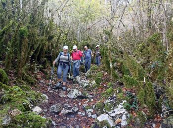
• Grands Causses - Peyreleau - Corniches du Causse Noir- 2016 09 06 - dej 1h00

Stappen
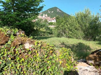
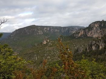
• Départ de Peyreleau - Gorges de la Jonte

Stappen
Stappen

Noords wandelen
Stappen

Te voet

Stappen

Stappen
Stappen
Stappen
Stappen

Stappen

Te voet
Stappen
Stappen
• Robert Barto
Stappen
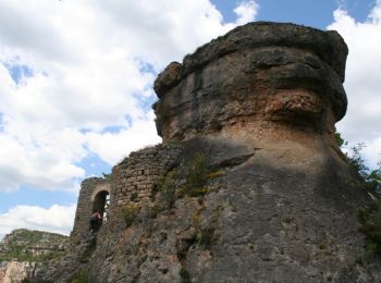
• hameau des Rouquets Ermitage Saint Michel Champignon Préhistorique et cirque de Madasse
Stappen
• hameau des Rouquets Ermitage Saint Michel Champignon Préhistorique et cirque de Madasse
Stappen
Stappen
• 25/05/2015
20 tochten weergegeven op 40
Gratisgps-wandelapplicatie
 SityTrail
IGN / Geografische instituten
SityTrail World
De wereld gaat voor u open