


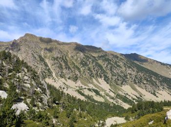
9,3 km | 18,5 km-effort
Fontpédrouse: Ontdek de beste tochten: 3 te voet en 52 stappen. Al deze tochten, trajecten, routes en outdoor activiteiten zijn beschikbaar in onze SityTrail-apps voor smartphones en tablets.
Stappen


Stappen

Stappen
Stappen
Stappen
Stappen
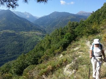
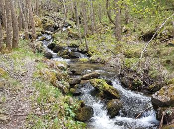
• Tres beau et agréable sentier.

Stappen
• Tres beau et agréable sentier.
Stappen
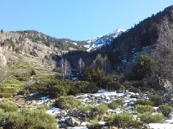
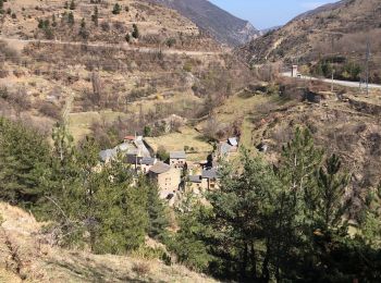
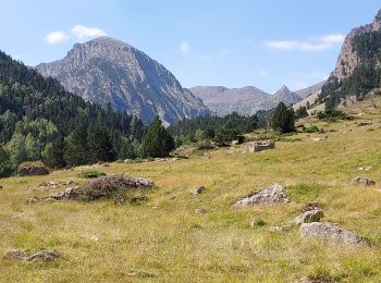
• Sortie détente pas trop difficile DNS une belle vallée
Stappen
• comite

Stappen
• comite
Stappen
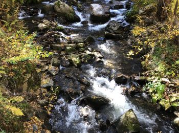
• Circuit retour descente pierreuse
Stappen
Stappen
Stappen
Stappen
Stappen
Stappen
Stappen
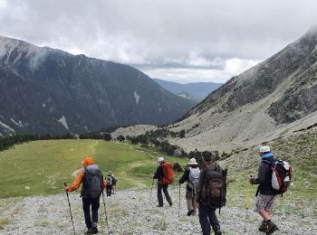
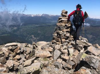
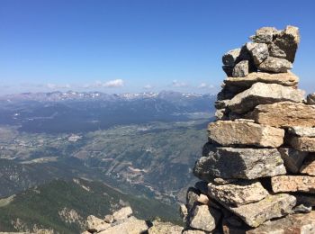
• Retour par la piste (une tendinite dans l'équipe. Plus abordable que le Redoun. Derniers mètres escarpés

Stappen
Stappen
20 tochten weergegeven op 55
Gratisgps-wandelapplicatie
 SityTrail
IGN / Geografische instituten
SityTrail World
De wereld gaat voor u open