


13,7 km | 22 km-effort
Saint-André-les-Alpes: Ontdek de beste tochten: 3 te voet, 24 stappen en 1 noords wandelen. Al deze tochten, trajecten, routes en outdoor activiteiten zijn beschikbaar in onze SityTrail-apps voor smartphones en tablets.

Stappen


Stappen
Stappen
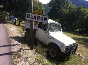
• départ, col des robines, direction courchons
Stappen
Stappen
Noords wandelen
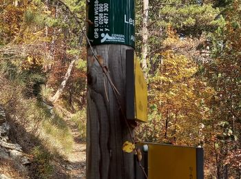
Stappen
Stappen

Stappen
Stappen

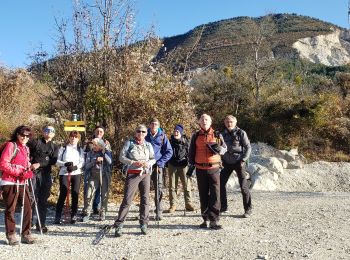
Te voet

Stappen
Te voet
Stappen
Stappen
Stappen
Stappen
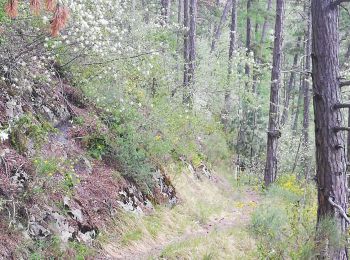
• dénivelée à faire par temps sec.passages ombragés
Stappen
Stappen
Stappen
20 tochten weergegeven op 28
Gratisgps-wandelapplicatie
 SityTrail
IGN / Geografische instituten
SityTrail World
De wereld gaat voor u open