


16,6 km | 33 km-effort
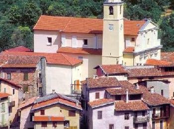
Belvédère: Ontdek de beste tochten: 8 te voet, 206 stappen, 1 noords wandelen, 5 lopen en 2 trail. Al deze tochten, trajecten, routes en outdoor activiteiten zijn beschikbaar in onze SityTrail-apps voor smartphones en tablets.
Stappen


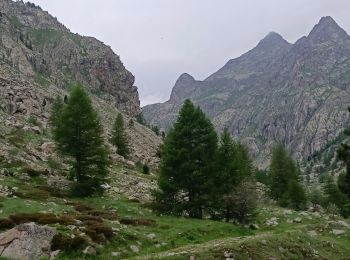
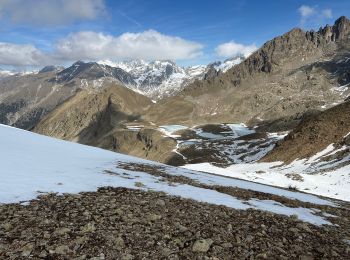
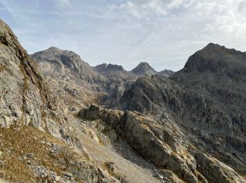
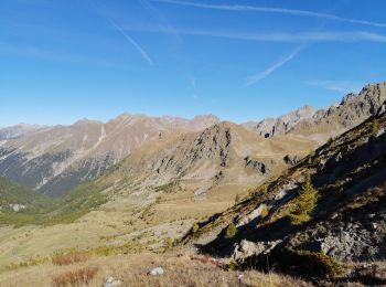
Te voet
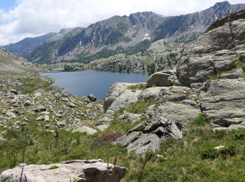
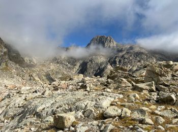
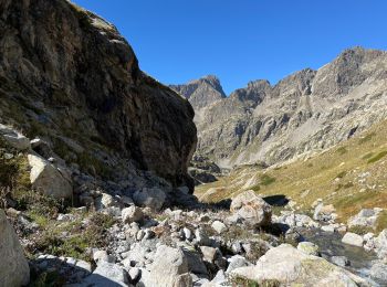
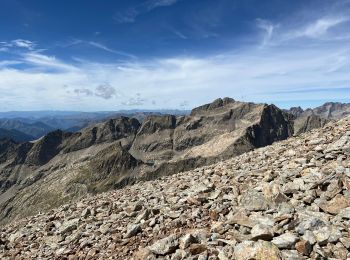
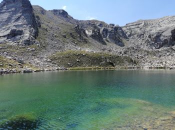
• Randonnée pédestre - Haut pays : Au départ de Saint Grat, parking du Countet (1 690 mètres) Website: https://randoxy...
Stappen
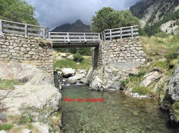
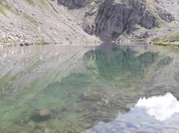
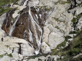
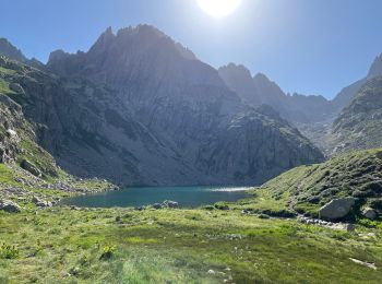
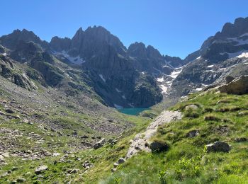
• Départ Pont du Countet - Mur des Italiens - lac de la Fous - lacs du Mont Clapier - refuge de Nice - lac Niré - Bais...
Stappen
Stappen
Stappen
Stappen
Stappen
Stappen
Stappen
Stappen
Stappen
Stappen
Stappen
Stappen
Stappen
Stappen
Stappen
Stappen
Stappen
20 tochten weergegeven op 222
Gratisgps-wandelapplicatie
 SityTrail
IGN / Geografische instituten
SityTrail World
De wereld gaat voor u open