


5,6 km | 13,4 km-effort
Monêtier-Allemont: Ontdek de beste tochten: 7 stappen. Al deze tochten, trajecten, routes en outdoor activiteiten zijn beschikbaar in onze SityTrail-apps voor smartphones en tablets.
Stappen


Stappen
Stappen
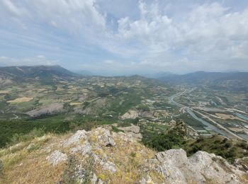
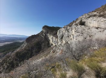
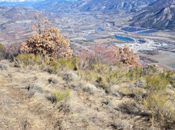
• Randonnée sportive malgré un dénivelé abordable.passage delicat juste sous la cime.Vire avec une corde pour securiser...
Stappen
• Randonnée sportive malgré un dénivelé abordable.passage delicat juste sous la cime.Vire avec une corde pour securiser...
Stappen

Stappen
Stappen
7 tochten weergegeven op 7
Gratisgps-wandelapplicatie
 SityTrail
IGN / Geografische instituten
SityTrail World
De wereld gaat voor u open