


6,1 km | 7,1 km-effort
Saint-Mitre-les-Remparts: Ontdek de beste tochten: 7 te voet, 69 stappen en 1 lopen. Al deze tochten, trajecten, routes en outdoor activiteiten zijn beschikbaar in onze SityTrail-apps voor smartphones en tablets.
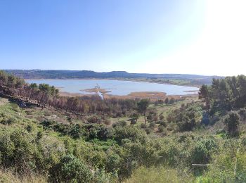
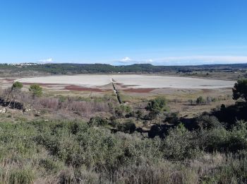
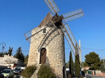
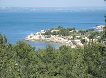
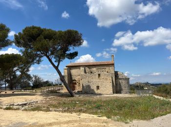
Te voet


• Trail created by Département des Bouches-du-Rhône. Symbol: Blue Bar Website: https://www.myprovence.fr/document/it...
Te voet
• Trail created by Département des Bouches-du-Rhône. Symbol: Blue Bar
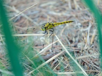
Te voet
• Trail created by Département des Bouches-du-Rhône. Symbol: Blue Bar Website: https://www.myprovence.fr/document/it...
Te voet
• Trail created by Département des Bouches-du-Rhône. Website: https://www.myprovence.fr/document/itineraires-de-rand...
Stappen

Stappen
Stappen
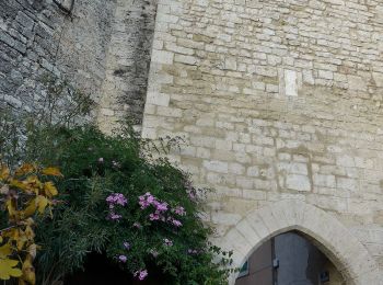
Te voet
• Trail created by Département des Bouches-du-Rhône. Symbol: blue bar Website: https://www.myprovence.fr/document/it...
Stappen

Stappen
Stappen
Stappen
Stappen
Stappen
Stappen

Stappen

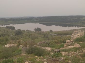
Te voet
• iti facile
Stappen

Stappen
Stappen
20 tochten weergegeven op 77
Gratisgps-wandelapplicatie
 SityTrail
IGN / Geografische instituten
SityTrail World
De wereld gaat voor u open