


6,9 km | 9,8 km-effort
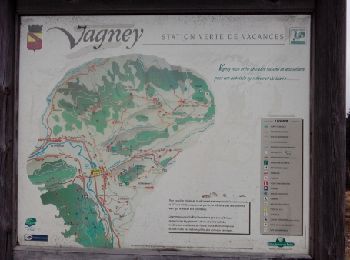
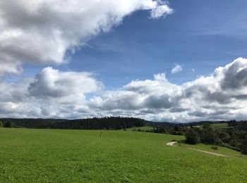
Vagney: Ontdek de beste tochten: 6 te voet, 56 stappen en 3 noords wandelen. Al deze tochten, trajecten, routes en outdoor activiteiten zijn beschikbaar in onze SityTrail-apps voor smartphones en tablets.
Te voet


• Trail created by Club Vosgien de Vagney. Symbol: green_ring

Stappen
Stappen
Stappen

Stappen

Noords wandelen

Te voet
• Trail created by Club Vosgien.
Te voet
• Trail created by Club Vosgien.
Te voet
• Trail created by Club Vosgien de Vagney.
Stappen

Stappen
Stappen

Stappen
Stappen

Stappen
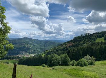
• 2019 03 30 8h25 à 17h20 temps superbe beaux points de vue Rando ASPV avec Dominique, Emmanuelle, Marie et moi
Stappen
Stappen
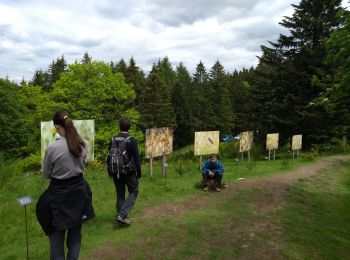
• Chèvreroche - La Croix des Hêtres. 21 mars 2015
Stappen

Stappen
Stappen
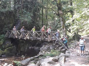
• 2021 05 20 avec Marie Temps frais couvert le matin éclaircies l'am. 9h20 à 18h10 Nombreux chemins défoncés et boueux ...
20 tochten weergegeven op 65
Gratisgps-wandelapplicatie
 SityTrail
IGN / Geografische instituten
SityTrail World
De wereld gaat voor u open