


10,6 km | 14,8 km-effort
Châtel-Guyon: Ontdek de beste tochten: 14 te voet, 55 stappen, 6 noords wandelen, 5 lopen en 1 trail. Al deze tochten, trajecten, routes en outdoor activiteiten zijn beschikbaar in onze SityTrail-apps voor smartphones en tablets.
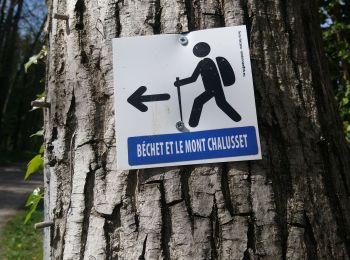
Stappen


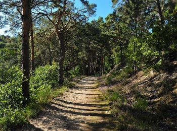
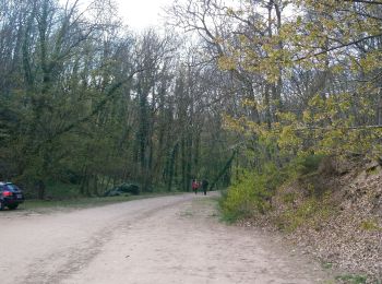
• Balade sympathique alternant forêt et chemins à faire en famille sans difficultés.
Stappen
Stappen
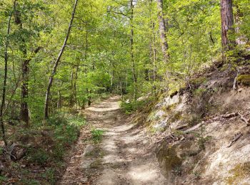
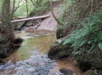
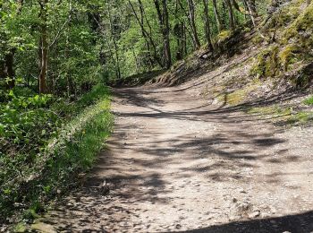
• Balade facile la plupart en sous bois à faire en famille.
Stappen

Te voet
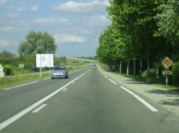
• Trail created by CD63.
Te voet
• Trail created by CD63.

Stappen

Stappen

Stappen

Stappen

Stappen
Stappen
Stappen
Stappen
Stappen
Stappen
Stappen
Stappen
Stappen
Stappen
20 tochten weergegeven op 80
Gratisgps-wandelapplicatie
 SityTrail
IGN / Geografische instituten
SityTrail World
De wereld gaat voor u open