


6,6 km | 9,2 km-effort
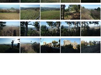
Romagnat: Ontdek de beste tochten: 4 te voet, 36 stappen, 3 noords wandelen en 1 lopen. Al deze tochten, trajecten, routes en outdoor activiteiten zijn beschikbaar in onze SityTrail-apps voor smartphones en tablets.
Stappen


Te voet
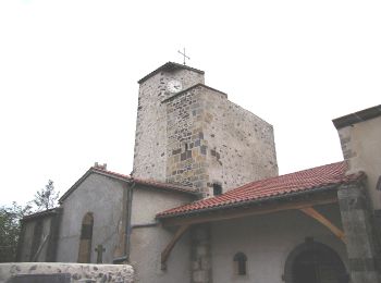
• Trail created by CD63.

Stappen
Te voet
• Trail created by CD63.

Stappen

Stappen
Stappen
Stappen
• Site Conseil départemental 63

Stappen
Stappen
Stappen
Stappen

Stappen
Stappen

Stappen

Noords wandelen

Stappen
Stappen
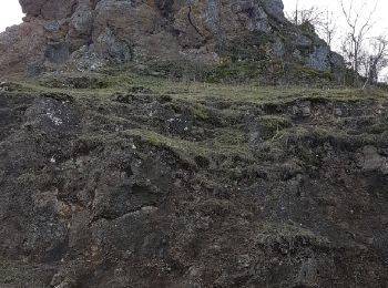
• Ce belvédère naturel offre un point de vue privilégié sur les plaines de la Limagne et du val d’Allier, et sur les vo...
Te voet
Stappen
20 tochten weergegeven op 44
Gratisgps-wandelapplicatie
 SityTrail
IGN / Geografische instituten
SityTrail World
De wereld gaat voor u open