


10,2 km | 16,4 km-effort
Malarce-sur-la-Thines: Ontdek de beste tochten: 1 te voet en 24 stappen. Al deze tochten, trajecten, routes en outdoor activiteiten zijn beschikbaar in onze SityTrail-apps voor smartphones en tablets.
Stappen


Stappen

Stappen
Stappen
Stappen
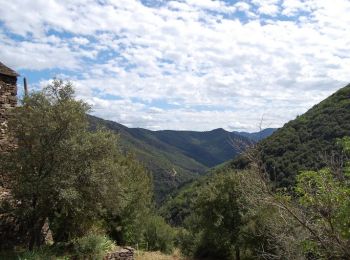
Te voet
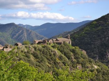
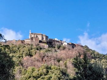
• Depart du parking de Thines

Stappen
Stappen
Stappen

Stappen
Stappen
Stappen
Stappen
• Aller par GRP retour par GR4
Stappen
Stappen
Stappen
Stappen
Stappen
Stappen
Stappen
20 tochten weergegeven op 25
Gratisgps-wandelapplicatie
 SityTrail
IGN / Geografische instituten
SityTrail World
De wereld gaat voor u open