


13,7 km | 21 km-effort
Chamaloc: Ontdek de beste tochten: 53 stappen en 4 noords wandelen. Al deze tochten, trajecten, routes en outdoor activiteiten zijn beschikbaar in onze SityTrail-apps voor smartphones en tablets.

Stappen


Stappen

Stappen

Stappen

Stappen
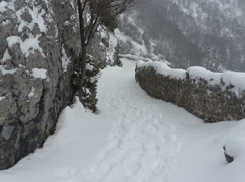
• 14/02/2019 départ sud du tunnel du Rousset la traversée du pierrier au départ est délicate
Stappen
Stappen
• 14/02/2019 départ sud du tunnel du Rousset la traversée du pierrier au départ est délicate
Stappen
Stappen
Noords wandelen

Stappen
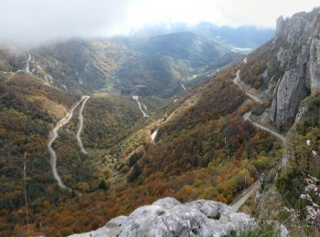
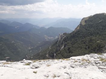
• Belle rando au départ du tunnel du Rousset, côté Die. Superbes points de vue. Pas de difficultés techniques.
Stappen
• azur 17.05.2017

Noords wandelen
Noords wandelen
Stappen

Stappen
Stappen
Stappen
Stappen
Stappen
20 tochten weergegeven op 57
Gratisgps-wandelapplicatie
 SityTrail
IGN / Geografische instituten
SityTrail World
De wereld gaat voor u open